Kingdom Hall of Jehovah’s Witnesses
Kingdom Hall of Jehovah’s Witnesses is a place of worship in Polk, Georgia which is located on Davis Road. Kingdom Hall of Jehovah’s Witnesses is situated nearby to the power station Polk County GA S1.| Tap on a place to explore it |
- Type: Place of worship
- Denomination: Jehovahs Witness
- Address: 864 Davis Road, Cedartown, GA 30125
Places in the Area
Nearby places include Cedartown and Fish Creek.
Cedartown
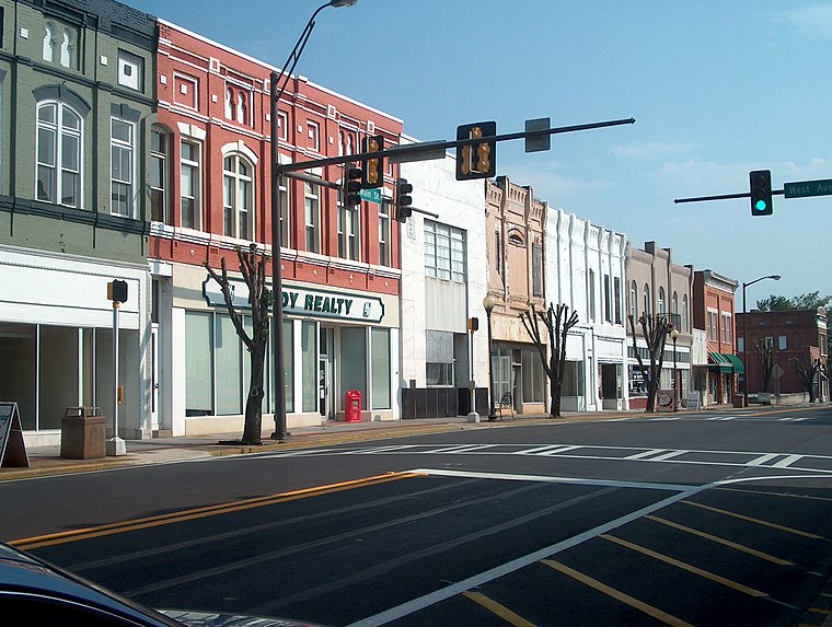
Photo: Cculber007, CC BY-SA 3.0.
Cedartown is a city and the county seat of Polk County, Georgia, United States. The population was 10,190 at the 2020 census. Cedartown is the principal city of the Cedartown micropolitan area, which is included in the Atlanta–Athens-Clarke–Sandy Springs combined statistical area.
Fish Creek
Locality
 Fish Creek is an unincorporated community in Polk County, Georgia, United States. Fish Creek is situated 5 miles southeast of Kingdom Hall of Jehovah’s Witnesses.
Kingdom Hall of Jehovah’s Witnesses
- Categories: building and religion
- Location: Polk, Georgia, South, United States, North America
- View on OpenStreetMap
Latitude
34.04578° or 34° 2′ 45″ northLongitude
-85.20982° or 85° 12′ 35″ westOpen location code
866P2QWR+83OpenStreetMap ID
way 623519914OpenStreetMap feature
amenity=place_of_worshipOpenStreetMap feature
building=yesOpenStreetMap attribute
denomination=jehovahs_witness
This page is based on OpenStreetMap, Wikidata, and Wikimedia Commons.
We’d love your help improving our open data sources. Thank you for contributing.
Satellite Map
Discover Kingdom Hall of Jehovah’s Witnesses from above in high-definition satellite imagery.
Places with the Same Name
Discover other places named “Kingdom Hall of Jehovah’s Witnesses”.
Notable Places Nearby
Highlights include Polk County GA S1 and Lake Creek Church.
Nearby Places
Explore places such as Burkhalter Road Substation and Cedartown Middle School.
Georgia: Must-Visit Destinations
Delve into Atlanta, Savannah, Augusta, and Hartsfield–Jackson Atlanta International Airport.
Curious Place Of Worships to Discover
Uncover intriguing place of worships from every corner of the globe.
About Mapcarta. Data © OpenStreetMap contributors and available under the Open Database License". Text is available under the CC BY-SA 4.0 license, except for photos, directions, and the map. Photo: Wikimedia, CC0.