All Lit Up Plaza
All Lit Up Plaza is a building in Franklin Township, Carbon County, Pennsylvania. All Lit Up Plaza is situated nearby to St. Peter’s EC Church, as well as near the cemetery Franklin Heights Memorial Park.| Tap on a place to explore it |
Places in the Area
Nearby places include Lehighton and Harrity.
Lehighton
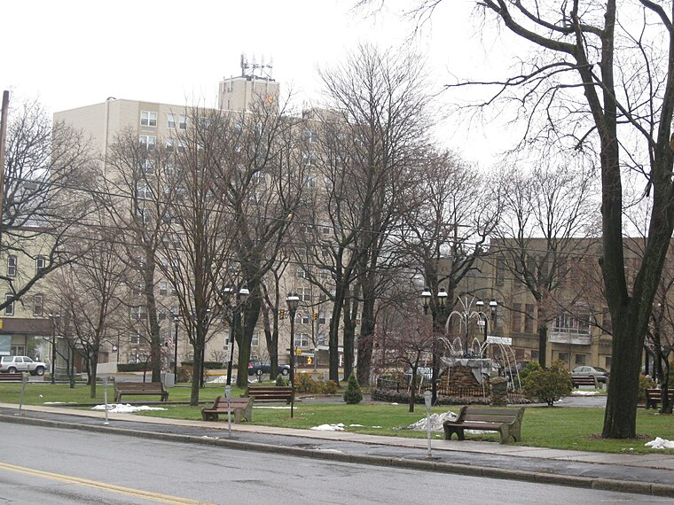
Photo: Doug Kerr, CC BY-SA 2.0.
Lehighton is a borough in the Coal Region, near Jim Thorpe, Allentown and the Lehigh Valley, in the state of Pennsylvania in the United States of America.
Harrity
Hamlet
Harrity is a village in Franklin Township, Carbon County, Pennsylvania on the Pohopoco Creek, which flows westward from Beltzville Lake into the Lehigh River to the south of the village in Parryville.
Parryville
Village

Photo: Doug Kerr, CC BY-SA 2.0.
Parryville is a borough in Carbon County, Pennsylvania, United States. It is part of Northeastern Pennsylvania, and is located 3 miles southeast of Lehighton and 1 mile north of Bowmanstown, off Route 248 and 4 miles northwest of Palmerton.
All Lit Up Plaza
- Type: Commercial building
- Categories: building and office
- Location: Franklin Township, Carbon County, Pennsylvania, Mid-Atlantic, United States, North America
- View on OpenStreetMap
Latitude
40.83333° or 40° 50′ northLongitude
-75.69259° or 75° 41′ 33″ westOpen location code
87G6R8M4+8XOpenStreetMap ID
way 624756430OpenStreetMap feature
building=commercial
This page is based on OpenStreetMap, Wikidata, and Wikimedia Commons.
We’d love your help improving our open data sources. Thank you for contributing.
Satellite Map
Discover All Lit Up Plaza from above in high-definition satellite imagery.
Notable Places Nearby
Highlights include St. Peter’s EC Church and Franklin Heights Memorial Park.
Nearby Places
Explore places such as Archery Addictions and Wentz Car Care.
Pennsylvania: Must-Visit Destinations
Delve into Philadelphia, Pittsburgh, Harrisburg, and Scranton.
Curious Places to Discover
Uncover intriguing places from every corner of the globe.
About Mapcarta. Data © OpenStreetMap contributors and available under the Open Database License". Text is available under the CC BY-SA 4.0 license, except for photos, directions, and the map. Photo: Nicholas A. Tonelli, CC BY 2.0.