Tehopuisto
Tehopuisto is a playground in Järvenpää, Helsinki sub-region, Uusimaa. Tehopuisto is situated nearby to the meadow Entisen kaatopaikan alue, as well as near the forest Rampakanmetsä.| Tap on a place to explore it |
Places of Interest Nearby
Highlights include Saunakallio railway station and Järvenpää railway station.
Saunakallio railway station
Railway station

Photo: Junafani, CC BY-SA 3.0.
Saunakallio railway station is a Helsinki commuter rail station in the town of Järvenpää, Finland, 39 km north from the Helsinki Central railway station. Saunakallio railway station is situated 1¼ km west of Tehopuisto.
Järvenpää railway station
Railway station
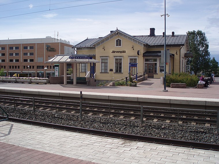 Järvenpää railway station is a railway station in Järvenpää about 37 kilometres north from Helsinki Central station. It is situated 200 metres northeast of the city centre on a small hill. Järvenpää railway station is situated 1½ km south of Tehopuisto.
Villa Cooper
Building

Photo: Boberger, CC BY-SA 4.0.
Villa Cooper is a building, which is situated 1¼ km south of Tehopuisto.
Places in the Area
Nearby places include Kellokoski and Tuusulan kirkonkylä.
Kellokoski
Town
Kellokoski is one of the three villages in the Finnish municipality of Tuusula. It is located 7 kilometres north of the town of Järvenpää. Kellokoski has a population of 4,400. Kellokoski is situated 5 km north of Tehopuisto.
Tuusulan kirkonkylä
Suburb

Photo: Annelis, CC BY-SA 4.0.
Tuusulan kirkonkylä is a rural village in the Tuusula municipality in Uusimaa, Finland. Tuusulan kirkonkylä is situated 9 km south of Tehopuisto.
Kerava

Photo: Ypsilon from Finland, CC0.
Kerava is a town in Central Uusimaa, in Southern Finland. It's located about 30km to the north from Helsinki and is part of the greater metropolitan area.
Tehopuisto
- Type: Playground
- Category: recreation area
- Location: Järvenpää, Helsinki sub-region, Uusimaa, Southern Finland, Finland, Nordic countries, Europe
- View on OpenStreetMap
Latitude
60.48923° or 60° 29′ 21″ northLongitude
25.08824° or 25° 5′ 18″ eastOperator
Järvenpään kaupunkiOpen location code
9GG7F3QQ+M7OpenStreetMap ID
way 633595764OpenStreetMap feature
leisure=playground
This page is based on OpenStreetMap, Wikidata, and Wikimedia Commons.
We’d love your help improving our open data sources. Thank you for contributing.
Satellite Map
Discover Tehopuisto from above in high-definition satellite imagery.
Notable Places Nearby
Highlights include Entisen kaatopaikan alue and Rampakanmetsä.
Nearby Places
Explore places such as Mittarikatu E and Mittarikatu P.
Uusimaa: Must-Visit Destinations
Delve into Helsinki, Espoo, Vantaa, and Porvoo.
Curious Playgrounds to Discover
Uncover intriguing playgrounds from every corner of the globe.
About Mapcarta. Data © OpenStreetMap contributors and available under the Open Database License". Text is available under the CC BY-SA 4.0 license, except for photos, directions, and the map. Photo: Wikimedia, CC0.