Agrafresh
Agrafresh is a building in Bailleul-Sir-Berthoult, Arrondissement of Arras, Hauts-de-France. Agrafresh is situated nearby to the village Monchy-le-Preux.| Tap on a place to explore it |
Places of Interest Nearby
Highlights include Point-du-Jour Military Cemetery and Saint-Laurent-Blangy German Military Cemetery (WWI).
Point-du-Jour Military Cemetery
Cemetery
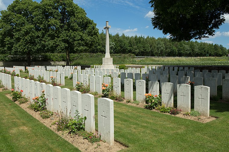
Photo: Wernervc, CC BY-SA 4.0.
Point-du-Jour Military Cemetery is situated 1 km southwest of Agrafresh.
Saint-Laurent-Blangy German Military Cemetery (WWI)
Cemetery

Photo: Wernervc, CC BY-SA 4.0.
Saint-Laurent-Blangy German Military Cemetery (WWI) is situated 2 km west of Agrafresh.
Athies Communal Cemetery Extension
Cemetery

Photo: Wernervc, CC BY-SA 4.0.
Athies Communal Cemetery Extension is situated 2 km south of Agrafresh.
Places in the Area
Nearby places include Arras and Monchy-le-Preux.
Arras

Photo: Mélanie Huguet, CC BY-SA 3.0.
Arras is an attractive town in the Hauts-de-France region of France. It was much fought-over in World War I and is mainly visited by tourists travelling from or to the nearby ports of Calais and Boulogne.
Monchy-le-Preux
Village

Photo: Pir6mon, CC BY-SA 3.0.
Monchy-le-Preux is a commune in the Pas-de-Calais department in the Hauts-de-France region of France ten kilometres southeast of Arras. Monchy-le-Preux is situated 7 km southeast of Agrafresh.
Méricourt
Town

Photo: Floflo62, CC BY-SA 3.0.
Méricourt is a commune in the Pas-de-Calais department in the Hauts-de-France region of France 3 miles southeast of Lens The commune is part of the canton of Avion. Méricourt is situated 9 km north of Agrafresh.
Agrafresh
Latitude
50.32058° or 50° 19′ 14″ northLongitude
2.84496° or 2° 50′ 42″ eastOpen location code
9F248RCV+6XOpenStreetMap ID
way 637525595OpenStreetMap feature
building=yes
This page is based on OpenStreetMap, Wikidata, and Wikimedia Commons.
We’d love your help improving our open data sources. Thank you for contributing.
Satellite Map
Discover Agrafresh from above in high-definition satellite imagery.
Notable Places Nearby
Highlights include Gare de Bailleul-Sir-Berthoult and Salle des Fêtes.
Nearby Places
Explore places such as Duo Emballages and Perrenot.
Hauts-de-France: Must-Visit Destinations
Delve into Lille, Dunkirk, Calais, and Amiens.
Curious Buildings to Discover
Uncover intriguing buildings from every corner of the globe.
About Mapcarta. Data © OpenStreetMap contributors and available under the Open Database License". Text is available under the CC BY-SA 4.0 license, except for photos, directions, and the map. Photo: Tony62, CC BY-SA 3.0.