Kleingartenanlage Mörswiese
Kleingartenanlage Mörswiese is an allotment garden in Aschaffenburg, Lower Franconia, Bavaria. Kleingartenanlage Mörswiese is situated nearby to the bridge Ebertbrücke, as well as near Skyline.| Tap on a place to explore it |
Places of Interest Nearby
Highlights include F.a.n. Frankenstolz Arena and Aschaffenburg Hauptbahnhof.
F.a.n. Frankenstolz Arena
Sports venue

Photo: Kuebi, CC BY-SA 3.0.
F.a.n. Frankenstolz Arena is a sports venue, which is situated 470 metres southwest of Kleingartenanlage Mörswiese.
Aschaffenburg Hauptbahnhof
Railway station

Photo: Johannes Ries, CC BY 2.5.
Aschaffenburg Hauptbahnhof is the main station of Aschaffenburg in the German state of Bavaria. It is located on the busy Ruhr– Frankfurt–Nuremberg–Munich/Vienna rail corridor. Aschaffenburg Hauptbahnhof is situated 1 km east of Kleingartenanlage Mörswiese.
Court Library Aschaffenburg
Library
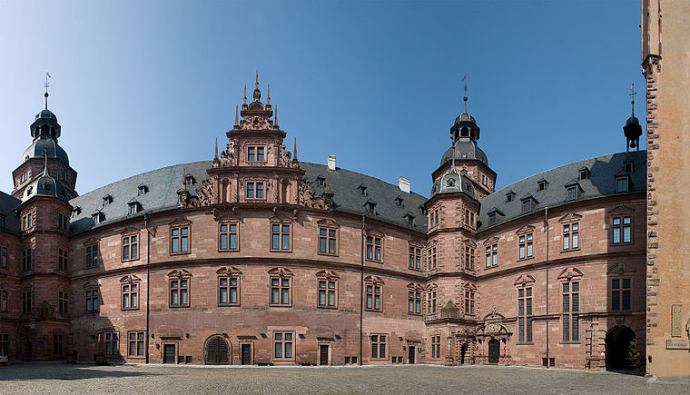
Photo: Steschke, CC BY-SA 3.0 de.
Court Library Aschaffenburg is situated 1 km east of Kleingartenanlage Mörswiese.
Places in the Area
Nearby places include Damm and Mainaschaff.

Mainaschaff
Village

Photo: Freak-Line-Community, CC BY-SA 3.0.
Mainaschaff is a community in the Aschaffenburg district in the Regierungsbezirk of Lower Franconia in Bavaria, Germany. It has a population of around 9,000. Mainaschaff is situated 3 km west of Kleingartenanlage Mörswiese.
Obernau
Village

Photo: Dysmachus, CC BY-SA 3.0.
Obernau is a village, which is situated 5 km south of Kleingartenanlage Mörswiese.
Kleingartenanlage Mörswiese
- Type: Allotment garden
- Location: Aschaffenburg, Lower Franconia, Franconia, Bavaria, Germany, Central Europe, Europe
- View on OpenStreetMap
Latitude
49.97875° or 49° 58′ 44″ northLongitude
9.12942° or 9° 7′ 46″ eastOpen location code
8FXFX4HH+FQOpenStreetMap ID
way 638016034OpenStreetMap feature
landuse=allotments
This page is based on OpenStreetMap, Wikidata, and Wikimedia Commons.
We’d love your help improving our open data sources. Thank you for contributing.
Satellite Map
Discover Kleingartenanlage Mörswiese from above in high-definition satellite imagery.
Places with the Same Name
Discover other places named “Kleingartenanlage Mörswiese”.
Notable Places Nearby
Highlights include Ebertbrücke and Skyline.
Nearby Places
Explore places such as designfunktion and May Bauträger.
Lower Franconia: Must-Visit Destinations
Delve into Würzburg, Schweinfurt, Bad Kissingen, and Miltenberg.
Curious Allotment Gardens to Discover
Uncover intriguing allotment gardens from every corner of the globe.
About Mapcarta. Data © OpenStreetMap contributors and available under the Open Database License". Text is available under the CC BY-SA 4.0 license, except for photos, directions, and the map. Photo: Rainer Lippert, CC0.