T01 - IGH
T01 - IGH is a hospital building in Chambray-lès-Tours, Arrondissement of Tours, Centre-Val de Loire. T01 - IGH is situated nearby to the hospital Hôpital Trousseau, as well as near the church T10 - Chapelle.| Tap on a place to explore it |
Places of Interest Nearby
Highlights include Manoir de la Sagerie and Manoir de la Grand’Cour.
Manoir de la Sagerie
Castle

Photo: ManuD, CC BY-SA 1.0.
Manoir de la Sagerie is a castle, which is situated 790 metres north of T01 - IGH.
Manoir de la Grand’Cour
Castle
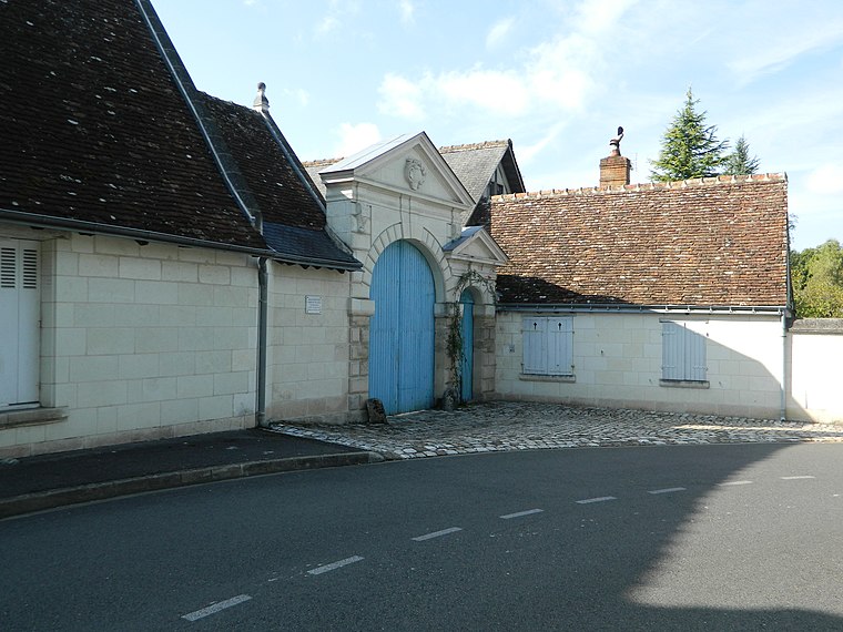
Photo: ManuD, CC BY-SA 3.0.
Manoir de la Grand’Cour is a castle, which is situated 1 km north of T01 - IGH.
Église Saint-Symphorien de Chambray-lès-Tours
Church

Photo: Havang(nl), CC0.
Église Saint-Symphorien de Chambray-lès-Tours is a church, which is situated 1¼ km south of T01 - IGH.
Places in the Area
Nearby places include Les Fontaines and Saint-Avertin.

Saint-Avertin
Town

Photo: Havang(nl), CC0.
Saint-Avertin is a commune in the Indre-et-Loire department in central France.
Rochepinard
Suburb

Photo: Guillaume70, CC BY-SA 4.0.
Rochepinard is a suburb, which is situated 3½ km north of T01 - IGH.
T01 - IGH
- Type: Hospital building
- Categories: building and health care
- Location: Chambray-lès-Tours, Arrondissement of Tours, Indre-et-Loire, Centre-Val de Loire, France, Europe
- View on OpenStreetMap
Latitude
47.34899° or 47° 20′ 56″ northLongitude
0.71134° or 0° 42′ 41″ eastOpen location code
8FV28PX6+HGOpenStreetMap ID
way 638348032OpenStreetMap feature
building=hospital
This page is based on OpenStreetMap, Wikidata, and Wikimedia Commons.
We’d love your help improving our open data sources. Thank you for contributing.
Satellite Map
Discover T01 - IGH from above in high-definition satellite imagery.
Notable Places Nearby
Highlights include Hôpital Trousseau and T10 - Chapelle.
Nearby Places
Explore places such as Laboratoire and T20- IRM/CESU.
Centre-Val de Loire: Must-Visit Destinations
Delve into Orléans, Tours, Chartres, and Bourges.
Curious Hospitals to Discover
Uncover intriguing hospitals from every corner of the globe.
About Mapcarta. Data © OpenStreetMap contributors and available under the Open Database License". Text is available under the CC BY-SA 4.0 license, except for photos, directions, and the map. Photo: Popolon, CC BY-SA 3.0.