Escola Mestre Morera
Escola Mestre Morera is a school in Barcelona, Barcelona, Catalonia. Escola Mestre Morera is situated nearby to the sports venue Centre Esportiu Municipal Can Cuiàs, as well as near the reservoir Dipòsit Torre Baró.| Tap on a place to explore it |
Places of Interest Nearby
Highlights include Font Muguera and Can Cuiàs.
Font Muguera
Spring
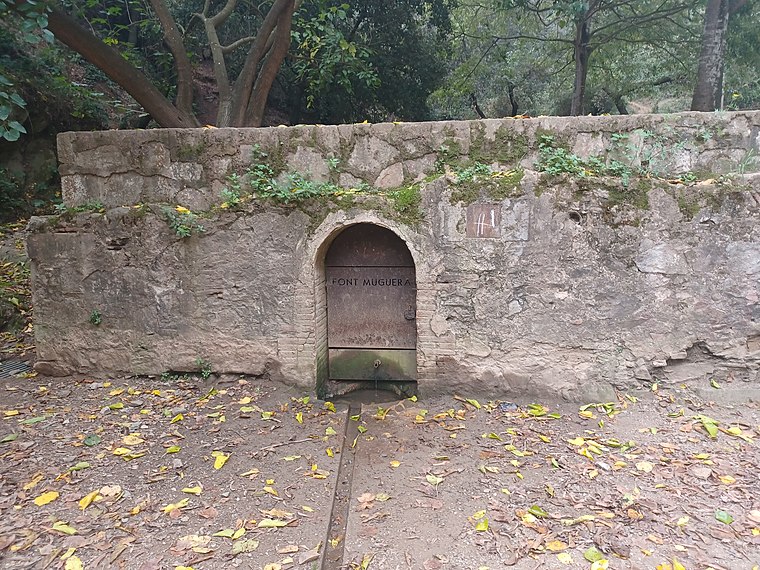
Photo: Wikimedia, CC BY-SA 4.0.
Font Muguera is a spring, which is situated 280 metres southeast of Escola Mestre Morera.
Can Cuiàs
Railway stop

Photo: Josep Maria 15., CC BY-SA 3.0.
Can Cuiàs is a station on Line 11 of the Barcelona Metro. It is located at the northern edge of the Nou Barris district of Barcelona, within the municipality of Montcada i Reixac. Can Cuiàs is situated 540 metres northeast of Escola Mestre Morera.
Ciutat Meridiana
Metro station
 Ciutat Meridiana is a station on Line 11 of the Barcelona Metro. It is located in the neighborhood of Ciutat Meridiana, in the Nou Barris district of Barcelona. Ciutat Meridiana is situated 600 metres east of Escola Mestre Morera.
Places in the Area
Nearby places include Can Cuiàs and Ciutat Meridiana.

Ciutat Meridiana
Neighborhood

Photo: Tresbarris, CC BY-SA 3.0.
Ciutat Meridiana is a neighborhood in the Nou Barris district of Barcelona, Catalonia.

Escola Mestre Morera
- Type: School
- Categories: Catalonian school and education
- Location: Barcelona, Barcelona, Catalonia, Eastern Spain, Spain, Iberia, Europe
- View on OpenStreetMap
Latitude
41.45934° or 41° 27′ 34″ northLongitude
2.16772° or 2° 10′ 4″ eastOpen location code
8FH4F559+P3OpenStreetMap ID
way 638575622OpenStreetMap feature
amenity=schoolWikidata ID
Q111338518
This page is based on OpenStreetMap, Wikidata, and Wikimedia Commons.
We’d love your help improving our open data sources. Thank you for contributing.
Satellite Map
Discover Escola Mestre Morera from above in high-definition satellite imagery.
In Other Languages
From Catalan to Turkish—“Escola Mestre Morera” goes by many names.
- Catalan: “Escola Mestre Morera”
- Spanish: “Escola Mestre Morera”
- Turkish: “Escola Mestre Morera”
- Turkish: “Mestre Morera Okulu”
Notable Places Nearby
Highlights include Centre Esportiu Municipal Can Cuiàs and Dipòsit Torre Baró.
Nearby Places
Explore places such as Escola Bresol Municipal Aqüeducte and Av Rasos de Peguera - Complex Esportiu Can Cuiàs.
Barcelona: Must-Visit Destinations
Delve into Ciutat Vella, Eixample, Gràcia, and Sants-Montjuïc.
Curious Schools to Discover
Uncover intriguing schools from every corner of the globe.
About Mapcarta. Data © OpenStreetMap contributors and available under the Open Database License". Text is available under the CC BY-SA 4.0 license, except for photos, directions, and the map. Photo: phyrephox, CC BY-SA 2.0.