Radheide
Radheide is a forest in North Rhine-Westphalia, Germany. Radheide is situated nearby to the suburb St. Vit, as well as near Bosfeld.| Tap on a place to explore it |
Places of Interest
Highlights include Haus Bosfeld and Rheda-Wiedenbrück station.

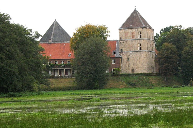
Rheda-Wiedenbrück station
Railway station

Photo: Wikimedia, CC BY-SA 3.0.
Rheda-Wiedenbrück station is a passenger station in the Westphalian town of Rheda-Wiedenbrück in the German state of North Rhine-Westphalia. It lies on the Hamm–Minden railway, one of the most heavily trafficked lines in Germany.
Places in the Area
Nearby places include Rheda-Wiedenbrück and Rheda.
Rheda-Wiedenbrück
Town

Photo: Wikimedia, CC BY-SA 3.0.
Rheda-Wiedenbrück is a city in the district of Gütersloh, in North Rhine-Westphalia, Germany.
Rheda
Suburb

Photo: Wikimedia, CC BY-SA 3.0.
Rheda is a town in North Rhine-Westphalia, a part of the municipality of Rheda-Wiedenbrück in the Kreis of Gütersloh.
Stromberg
Village
Stromberg is a quarter of Oelde with 4558 inhabitants. It lies to the southeast of Oelde on Bundesstraße 61, in the district of Warendorf and the region of Münster.
Radheide
- Type: Forest
- Location: North Rhine-Westphalia, Germany, Central Europe, Europe
- View on OpenStreetMap
Latitude
51.8387° or 51° 50′ 19″ northLongitude
8.2623° or 8° 15′ 44″ eastOpen location code
9F3CR7Q6+FWOpenStreetMap ID
way 639745158OpenStreetMap feature
landuse=forest
This page is based on OpenStreetMap, Wikidata, and Wikimedia Commons.
We’d love your help improving our open data sources. Thank you for contributing.
Satellite Map
Discover Radheide from above in high-definition satellite imagery.
Localities in the Area
Explore places such as St. Vit and Bosfeld.
Notable Places Nearby
Highlights include Radheide and Hambusch.
North Rhine-Westphalia: Must-Visit Destinations
Delve into Cologne, Düsseldorf, Bonn, and Dortmund.
Curious Forests to Discover
Uncover intriguing forests from every corner of the globe.
About Mapcarta. Data © OpenStreetMap contributors and available under the Open Database License". Text is available under the CC BY-SA 4.0 license, except for photos, directions, and the map. Photo: Daniel Schwen, CC BY-SA 2.5.