Pavelló G
Pavelló G is an industrial building in Sants-Montjuïc, Barcelona, Catalonia. Pavelló G is situated nearby to the metro station Mercabarna, as well as near Ciment.| Tap on a place to explore it |
Places of Interest Nearby
Highlights include Mercabarna and Xemeneia de la paperera.
Mercabarna
Metro station

Photo: Josep Maria Roca Peña, CC BY-SA 4.0.
Mercabarna is a Barcelona Metro station, located in the Mercabarna market complex of the Zona Franca in the Sants-Montjuïc district of Barcelona. The station is served by line L9. Mercabarna is situated 610 metres northwest of Pavelló G.
Xemeneia de la paperera
Historic site

Photo: Pere prlpz, CC BY-SA 3.0.
Xemeneia de la paperera is a historic site, which is situated 750 metres west of Pavelló G.
Pont de Mercabarna
Bridge

Photo: Pere prlpz, CC BY-SA 4.0.
Pont de Mercabarna is a bridge, which is situated 620 metres southwest of Pavelló G.
Places in the Area
Nearby places include Zona Franca and El Prat de Llobregat.
Zona Franca
Neighborhood

Photo: Jmabel, CC BY-SA 4.0.
Zona Franca is a logistics and industrial area located in the Sants-Montjuïc district of Barcelona, Catalonia, Spain. Together with the adjacent Port of Barcelona it forms the neighborhood Zona Franca – Port.
El Prat de Llobregat
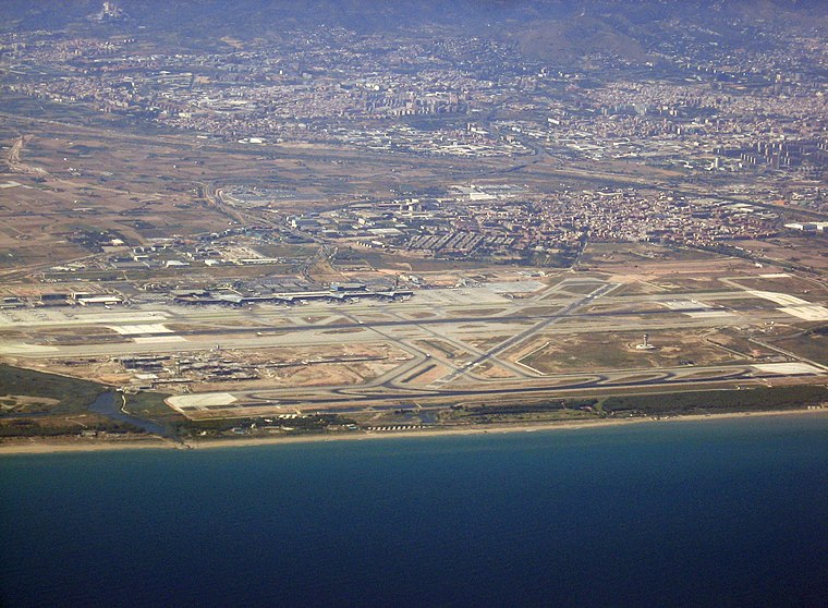
Photo: Buckeye, CC BY-SA 3.0.
El Prat de Llobregat is a small city of 64,000 people in the Baix Llobregat region of Catalonia. With a quiet atmosphere and friendly people, it has the advantage of both a big city and a small town.
Granvia l’Hospitalet
Quarter

Photo: Greenview, CC BY-SA 3.0.
Granvia l'Hospitalet or Granvia l'H is a district in the municipality of L'Hospitalet de Llobregat, a south-western suburb of the Barcelona metropolitan area.
Pavelló G
- Type: Industrial building
- Categories: building and industry
- Location: Sants-Montjuïc, Barcelona, Barcelona, Catalonia, Eastern Spain, Spain, Iberia, Europe
- View on OpenStreetMap
Latitude
41.33036° or 41° 19′ 49″ northLongitude
2.11718° or 2° 7′ 2″ eastLevels
5Open location code
8FH484J8+4VOpenStreetMap ID
way 644557152OpenStreetMap feature
building=industrial
This page is based on OpenStreetMap, Wikidata, and Wikimedia Commons.
We’d love your help improving our open data sources. Thank you for contributing.
Satellite Map
Discover Pavelló G from above in high-definition satellite imagery.
In Other Languages
“Pavelló G” goes by many names.
- Catalan: “Pavelló G”
Notable Places Nearby
Highlights include Ciment and Padel Barcelona - El Prat.
Nearby Places
Explore places such as Mercat central de Fruites i Hortalisses and Mercabarna.
Barcelona: Must-Visit Destinations
Delve into Ciutat Vella, Eixample, Gràcia, and Sants-Montjuïc.
Curious Industrial Buildings to Discover
Uncover intriguing industrial buildings from every corner of the globe.
About Mapcarta. Data © OpenStreetMap contributors and available under the Open Database License". Text is available under the CC BY-SA 4.0 license, except for photos, directions, and the map. Photo: phyrephox, CC BY-SA 2.0.