Bauunternehmung F.K. Horn
Bauunternehmung F.K. Horn is an industrial building in Schkopau, Saalekreis, Saxony-Anhalt which is located on Karl-Witte-Straße. Bauunternehmung F.K. Horn is situated nearby to the river Alte Elster, as well as near the village Döllnitz.| Tap on a place to explore it |
- Email: schkopau@f-k-horn.de
- Type: Industrial building
- Address: Karl-Witte-Straße 1 - 2, Lochau, Schkopau, 06258
Places of Interest Nearby
Highlights include Sankt-Anna-Kirche and Burg Burgliebenau.
Sankt-Anna-Kirche
Church

Photo: Olaf2, CC BY-SA 3.0.
Sankt-Anna-Kirche is a church, which is situated 1¼ km west of Bauunternehmung F.K. Horn.
Burg Burgliebenau
Castle

Photo: Jwaller, CC BY-SA 3.0.
Burg Burgliebenau is a castle, which is situated 2 km west of Bauunternehmung F.K. Horn.
Dorfkirche Burgliebenau
Church

Photo: Jwaller, CC BY-SA 3.0.
Dorfkirche Burgliebenau is a church, which is situated 2 km west of Bauunternehmung F.K. Horn.
Places in the Area
Nearby places include Döllnitz and Benndorf.
Döllnitz
Village

Photo: Jwaller, CC BY-SA 3.0.
Döllnitz is a village, which is situated 3 km northwest of Bauunternehmung F.K. Horn.
Benndorf
Village
 Benndorf is a municipality in the Mansfeld-Südharz district, Saxony-Anhalt, Germany. Benndorf is situated 5 km north of Bauunternehmung F.K. Horn.
Schkopau
Town
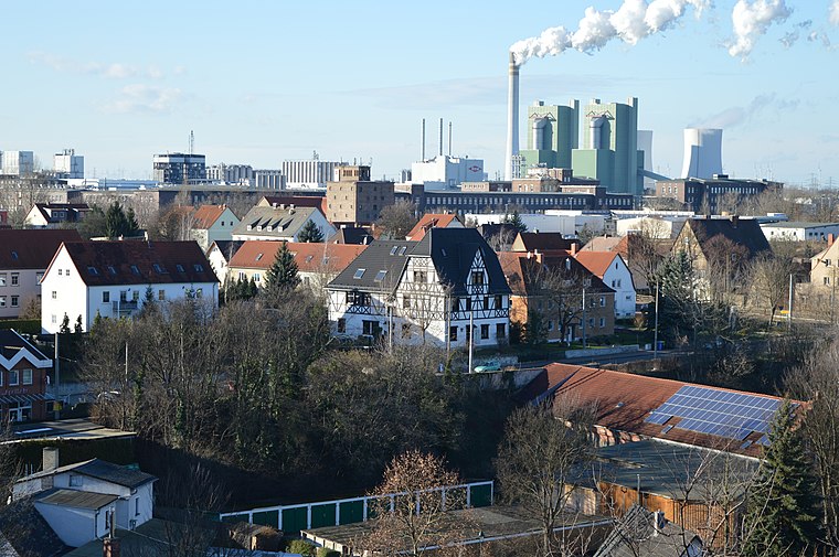
Photo: Olaf2, CC BY-SA 4.0.
Schkopau is a municipality in the Saalekreis district, in Saxony-Anhalt, Germany. Schkopau is situated 6 km west of Bauunternehmung F.K. Horn.
Bauunternehmung F.K. Horn
- Categories: building and industry
- Location: Schkopau, Saalekreis, Saxony-Anhalt, Germany, Central Europe, Europe
- View on OpenStreetMap
Latitude
51.39608° or 51° 23′ 46″ northLongitude
12.0703° or 12° 4′ 13″ eastOperator
F.K. Horn GmbH & Co. KGOpen location code
9F3J93WC+C4OpenStreetMap ID
way 646766577OpenStreetMap feature
building=industrial
This page is based on OpenStreetMap, Wikidata, and Wikimedia Commons.
We’d love your help improving our open data sources. Thank you for contributing.
Satellite Map
Discover Bauunternehmung F.K. Horn from above in high-definition satellite imagery.
Notable Places Nearby
Highlights include Alte Elster and Freiwillige Feuerwehr.
Nearby Places
Explore places such as MCL OfficeTechnik and D.S.E – Service.
Saxony-Anhalt: Must-Visit Destinations
Delve into Magdeburg, Halle, Wittenberg, and Quedlinburg.
Curious Industrial Buildings to Discover
Uncover intriguing industrial buildings from every corner of the globe.
About Mapcarta. Data © OpenStreetMap contributors and available under the Open Database License". Text is available under the CC BY-SA 4.0 license, except for photos, directions, and the map. Photo: GMM, Public domain.