Centre d’incendie et de secours de l’Île Sainte-Marguerite
Centre d’incendie et de secours de l’Île Sainte-Marguerite is a fire station in Provence-Alpes-Côte d’Azur, France. Centre d’incendie et de secours de l’Île Sainte-Marguerite is situated nearby to Four à boulets, as well as near the shipyard Chantier Naval de l’Esterel - Lérins Boat.| Tap on a place to explore it |
Places of Interest Nearby
Highlights include Fort Royal in Sainte-Marguerite Island and Museum of the Iron Mask and Fort Royal.
Fort Royal in Sainte-Marguerite Island
Fort

Photo: Museesc, CC BY-SA 4.0.
Fort Royal in Sainte-Marguerite Island is situated 640 metres east of Centre d’incendie et de secours de l’Île Sainte-Marguerite.
Museum of the Iron Mask and Fort Royal
Museum

Photo: Qypchak, CC BY-SA 3.0.
Museum of the Iron Mask and Fort Royal is situated 720 metres northeast of Centre d’incendie et de secours de l’Île Sainte-Marguerite.
Île Saint-Honorat
Islet

Photo: Jeje42, CC BY-SA 3.0.
Île Saint-Honorat is the second-largest of the Lérins Islands, about 1.6 kilometres off shore from the French Riviera city of Cannes. The island is approximately 1.5 kilometres in length and 400 metres wide.
Places in the Area
Nearby places include Cannes and Golfe-Juan.
Cannes

Photo: Afernand74, CC BY 2.5.
Once a small fishing village on the French Riviera, Cannes is now a glamorous and expensive seaside town of 73,000 people considered to be one of the social hubs of Europe.
Golfe-Juan
Village

Photo: Floflo, Public domain.
Golfe-Juan is a seaside resort on France's Côte d'Azur. The distinct local character of Golfe-Juan is indicated by the existence of a demonym, "Golfe-Juanais", which is applied to its inhabitants. Golfe-Juan is situated 6 km northeast of Centre d’incendie et de secours de l’Île Sainte-Marguerite.
Le Cannet
Town
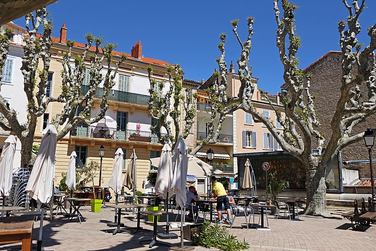
Photo: Jpchevreau, CC BY-SA 3.0.
Le Cannet is a commune of the Alpes-Maritimes department in southeastern France. Le Cannet is situated 6 km north of Centre d’incendie et de secours de l’Île Sainte-Marguerite.
Centre d’incendie et de secours de l’Île Sainte-Marguerite
- Type: Fire station
- Also known as: “APS Île Sainte-Marguerite” and “ILE STE MARGUERITE”
- Category: building
- Location: Provence-Alpes-Côte d’Azur, France, Europe
- View on OpenStreetMap
Latitude
43.52129° or 43° 31′ 17″ northLongitude
7.03716° or 7° 2′ 14″ eastOpen location code
8FM9G2CP+GVOpenStreetMap ID
way 64971363OpenStreetMap feature
amenity=fire_stationOpenStreetMap feature
building=yes
This page is based on OpenStreetMap, Wikidata, and Wikimedia Commons.
We’d love your help improving our open data sources. Thank you for contributing.
Satellite Map
Discover Centre d’incendie et de secours de l’Île Sainte-Marguerite from above in high-definition satellite imagery.
Notable Places Nearby
Highlights include Four à boulets and Chantier Naval de l’Esterel - Lérins Boat.
Nearby Places
Explore places such as Snack and Le Leronos.
Provence-Alpes-Côte d’Azur: Must-Visit Destinations
Delve into Marseille, Nice, Cannes, and Avignon.
Curious Fire Stations to Discover
Uncover intriguing fire stations from every corner of the globe.
About Mapcarta. Data © OpenStreetMap contributors and available under the Open Database License". Text is available under the CC BY-SA 4.0 license, except for photos, directions, and the map. Photo: Inkey, CC BY 2.0.