LEP Hélène Boucher
LEP Hélène Boucher is a building in Le Mans, Arrondissement du Mans, Pays de la Loire. LEP Hélène Boucher is situated nearby to the school Lycée professionnel Funay-Hélène Boucher, as well as near the sports venue Bowling du Mans.| Tap on a place to explore it |
Places of Interest Nearby
Highlights include Église Saint-Bernard de Sablons and L’Épau Abbey.
Église Saint-Bernard de Sablons
Church
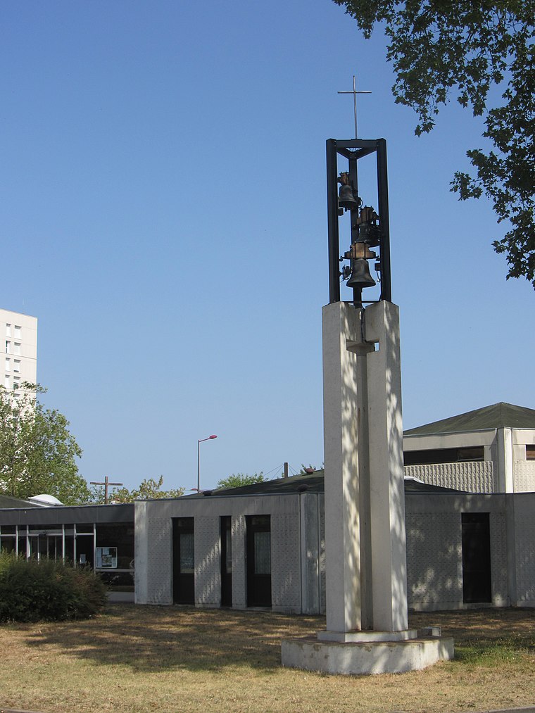
Photo: Nefer72, CC BY-SA 4.0.
Église Saint-Bernard de Sablons is a church, which is situated 640 metres north of LEP Hélène Boucher.
L’Épau Abbey

Photo: Selbymay, CC BY-SA 3.0.
L'Épau Abbey is a former Cistercian abbey founded by the English queen Berengaria of Navarre in 1229. It is located on the outskirts of the city of Le Mans, on the left bank of the Huisne, adjoining the town of Yvré-l'Évêque. L’Épau Abbey is situated 1½ km northeast of LEP Hélène Boucher.
Musée Vert
Museum

Photo: Musée Vert, Public domain.
Musée Vert is a museum, which is situated 1¼ km west of LEP Hélène Boucher.
Places in the Area
Nearby places include Pontlieue and Jean-Jaurès.


LEP Hélène Boucher
- Type: Building
- Location: Le Mans, Arrondissement du Mans, Sarthe, Pays de la Loire, France, Europe
- View on OpenStreetMap
Latitude
47.98477° or 47° 59′ 5″ northLongitude
0.22553° or 0° 13′ 32″ eastOperator
EnedisOpen location code
8FV2X6MG+W6OpenStreetMap ID
way 65114461OpenStreetMap feature
building=service
This page is based on OpenStreetMap, Wikidata, and Wikimedia Commons.
We’d love your help improving our open data sources. Thank you for contributing.
Satellite Map
Discover LEP Hélène Boucher from above in high-definition satellite imagery.
Notable Places Nearby
Highlights include Lycée professionnel Funay-Hélène Boucher and Bowling du Mans.
Nearby Places
Explore places such as Funay and Funay.
Pays de la Loire: Must-Visit Destinations
Delve into Montsoreau, Nantes, Angers, and Saint-Nazaire.
Curious Buildings to Discover
Uncover intriguing buildings from every corner of the globe.
About Mapcarta. Data © OpenStreetMap contributors and available under the Open Database License". Text is available under the CC BY-SA 4.0 license, except for photos, directions, and the map. Photo: Wikimedia, CC0.