Centre Communal d’Action Sociale
Centre Communal d’Action Sociale is a public building in Le Mans, Arrondissement du Mans, Pays de la Loire. Centre Communal d’Action Sociale is situated nearby to the park Square des Droits de l’homme, as well as near the sports venue Gymnase Jean Rondeau.| Tap on a place to explore it |
Places of Interest Nearby
Highlights include Le Mans Railway Station and Musée Vert.
Le Mans Railway Station
Railway station
 Le Mans is a railway station serving the town Le Mans, Sarthe department, western France. It is situated on the Paris–Brest railway, Le Mans–Angers railway and the non-electrified Tours–Le Mans railway. Le Mans Railway Station is situated 730 metres northwest of Centre Communal d’Action Sociale.
Musée Vert
Museum

Photo: Musée Vert, Public domain.
Musée Vert is a museum, which is situated 790 metres southeast of Centre Communal d’Action Sociale.
Église Saint-Bertrand du Mans
Church
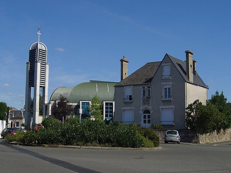
Photo: Éric Thiéry, CC BY-SA 4.0.
Église Saint-Bertrand du Mans is a church, which is situated 570 metres west of Centre Communal d’Action Sociale.
Places in the Area
Nearby places include Jean-Jaurès and Pontlieue.


Centre Communal d’Action Sociale
- Type: Public building
- Also known as: “CCAS”
- Categories: building and government building
- Location: Le Mans, Arrondissement du Mans, Sarthe, Pays de la Loire, France, Europe
- View on OpenStreetMap
Latitude
47.99042° or 47° 59′ 26″ northLongitude
0.19887° or 0° 11′ 56″ eastOpen location code
8FV2X5RX+5GOpenStreetMap ID
way 65566318OpenStreetMap feature
building=public
This page is based on OpenStreetMap, Wikidata, and Wikimedia Commons.
We’d love your help improving our open data sources. Thank you for contributing.
Satellite Map
Discover Centre Communal d’Action Sociale from above in high-definition satellite imagery.
Places with the Same Name
Discover other places named “Centre Communal d’Action Sociale”.
Notable Places Nearby
Highlights include Square des Droits de l’homme and Gymnase Jean Rondeau.
Nearby Places
Explore places such as Services d’Aide Ménagère à Domicile and Collège privé Saint-Martin.
Pays de la Loire: Must-Visit Destinations
Delve into Montsoreau, Nantes, Angers, and Saint-Nazaire.
Curious Public Buildings to Discover
Uncover intriguing public buildings from every corner of the globe.
About Mapcarta. Data © OpenStreetMap contributors and available under the Open Database License". Text is available under the CC BY-SA 4.0 license, except for photos, directions, and the map. Photo: Wikimedia, CC0.