Libellenlöcher Förstgen
Libellenlöcher Förstgen is in Saxony, Germany. Libellenlöcher Förstgen is situated nearby to ehem. Alter Teich Dauban, as well as near Hirschsumpf Ost.| Tap on a place to explore it |
Places of Interest Nearby
Highlights include Gefallenendenkmal Förstgen and Royal Saxon milestone Kleinsaubernitz.
Gefallenendenkmal Förstgen
Memorial
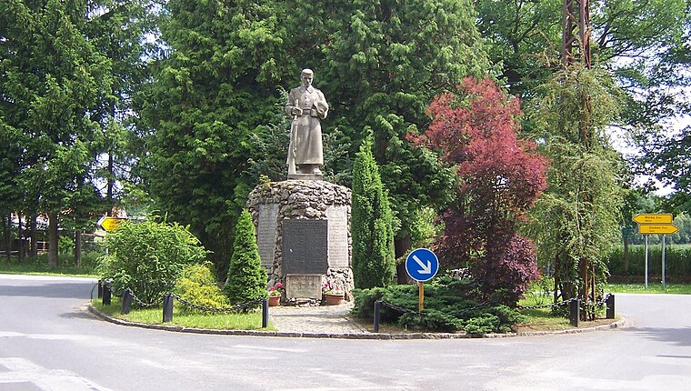
Photo: René Mettke, CC BY-SA 3.0.
Gefallenendenkmal Förstgen is a memorial, which is situated 2 km east of Libellenlöcher Förstgen.
Royal Saxon milestone Kleinsaubernitz
Historic site

Photo: Wikimedia, CC BY-SA 3.0.
Royal Saxon milestone Kleinsaubernitz is a historic site, which is situated 3 km southwest of Libellenlöcher Förstgen.
St. Trinitatiskirche
Church

Photo: René Mettke, CC BY-SA 3.0.
St. Trinitatiskirche is a church, which is situated 3½ km south of Libellenlöcher Förstgen.
Places in the Area
Nearby places include Dauban and Zimpel.

Zimpel
Hamlet

Photo: Lutki, CC BY-SA 3.0.
Zimpel is a hamlet, which is situated 3½ km northwest of Libellenlöcher Förstgen.
Wartha
Village

Photo: PaulT, CC BY-SA 3.0.
Wartha is a village, which is situated 4½ km southwest of Libellenlöcher Förstgen.
Libellenlöcher Förstgen
- Type: Body of water
- Location: Saxony, Germany, Central Europe, Europe
- View on OpenStreetMap
Latitude
51.29653° or 51° 17′ 48″ northLongitude
14.63785° or 14° 38′ 16″ eastOpen location code
9F3P7JWQ+J4OpenStreetMap ID
way 65752509OpenStreetMap feature
natural=water
This page is based on OpenStreetMap, Wikidata, and Wikimedia Commons.
We’d love your help improving our open data sources. Thank you for contributing.
Satellite Map
Discover Libellenlöcher Förstgen from above in high-definition satellite imagery.
Notable Places Nearby
Highlights include ehem. Alter Teich Dauban and Hirschsumpf Ost.
Nearby Places
Explore places such as Unterer Lichteteich and ehem. Sägewerk.
Saxony: Must-Visit Destinations
Delve into Dresden, Leipzig, Chemnitz, and Meißen.
Curious Places to Discover
Uncover intriguing places from every corner of the globe.
About Mapcarta. Data © OpenStreetMap contributors and available under the Open Database License". Text is available under the CC BY-SA 4.0 license, except for photos, directions, and the map. Photo: Taxiarchos228, FAL.