ZA la Bayette
ZA la Bayette is a commercial area in Carqueiranne, Arrondissement of Toulon, Provence-Alpes-Côte d’Azur. ZA la Bayette is situated nearby to the dog park Club Canin, as well as near the cemetery Cimetière de l’Esquirol.| Tap on a place to explore it |
Places of Interest Nearby
Highlights include Gare de La Garde and Gare de La Pauline-Hyères.
Gare de La Garde
Railway station
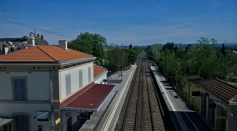
Photo: Breizhpierre, CC BY-SA 4.0.
Gare de La Garde is a railway station, which is situated 2½ km northwest of ZA la Bayette.
Gare de La Pauline-Hyères
Railway station

Photo: Kapfab, CC BY-SA 3.0.
Gare de La Pauline-Hyères is a railway station, which is situated 3 km north of ZA la Bayette.
Jean Aicard-Paulin Bertrand Museum
Museum

Photo: Parisette, CC BY-SA 3.0.
Jean Aicard-Paulin Bertrand Museum is situated 2½ km west of ZA la Bayette.
Places in the Area
Nearby places include La Garde and La Valette-du-Var.
La Garde
Town
 La Garde is a seaside commune in the Var department in the Provence-Alpes-Côte d'Azur region in Southeastern France. It is located in the Métropole Toulon Provence Méditerranée, east of the city of Toulon. La Garde is situated 2½ km northwest of ZA la Bayette.
La Valette-du-Var
Town

Photo: Esby, CC BY-SA 3.0.
La Valette-du-Var is a commune in the Var department in the Provence-Alpes-Côte d'Azur region in Southeastern France. La Valette-du-Var is situated 5 km northwest of ZA la Bayette.
Cap Brun
Suburb

Photo: Adltbc92, CC BY-SA 3.0.
Cap Brun is a suburb, which is situated 5 km west of ZA la Bayette.
ZA la Bayette
Latitude
43.10831° or 43° 6′ 30″ northLongitude
6.03624° or 6° 2′ 11″ eastOpen location code
8FM8425P+8FOpenStreetMap ID
way 662615642OpenStreetMap feature
landuse=retail
This page is based on OpenStreetMap, Wikidata, and Wikimedia Commons.
We’d love your help improving our open data sources. Thank you for contributing.
Satellite Map
Discover ZA la Bayette from above in high-definition satellite imagery.
Notable Places Nearby
Highlights include Club Canin and Cimetière de l’Esquirol.
Nearby Places
Explore places such as Ligier Store and Top garage.
Var: Must-Visit Destinations
Delve into Toulon, Saint-Tropez, Hyères, and Fréjus.
Curious Commercial Areas to Discover
Uncover intriguing commercial areas from every corner of the globe.
About Mapcarta. Data © OpenStreetMap contributors and available under the Open Database License". Text is available under the CC BY-SA 4.0 license, except for photos, directions, and the map. Photo: Tobi 87, CC BY-SA 3.0.