Parking Saint-Sauveur
Parking Saint-Sauveur is a parking area in Le Cannet, Arrondissement of Grasse, Provence-Alpes-Côte d’Azur. Parking Saint-Sauveur is situated nearby to the church Église Sainte-Philomène du Cannet, as well as near Chapelle Saint-Sauveur du Cannet.| Tap on a place to explore it |
Places of Interest Nearby
Highlights include Musée Bonnard and Chapelle Saint-Sauveur du Cannet.
Musée Bonnard
Museum

Photo: MOSSOT, CC BY-SA 3.0.
Musée Bonnard is a museum, which is situated 140 metres southwest of Parking Saint-Sauveur.
Chapelle Saint-Sauveur du Cannet
Church

Photo: Jpchevreau, CC BY-SA 3.0.
Chapelle Saint-Sauveur du Cannet is a church, which is situated 120 metres south of Parking Saint-Sauveur.
Église Sainte-Philomène du Cannet
Church

Photo: MOSSOT, CC BY-SA 3.0.
Église Sainte-Philomène du Cannet is a church, which is situated 120 metres southwest of Parking Saint-Sauveur.
Places in the Area
Nearby places include Le Cannet and Cannes.
Le Cannet
Town
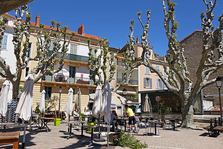
Photo: Jpchevreau, CC BY-SA 3.0.
Le Cannet is a commune of the Alpes-Maritimes department in southeastern France.
Cannes

Photo: Afernand74, CC BY 2.5.
Once a small fishing village on the French Riviera, Cannes is now a glamorous and expensive seaside town of 73,000 people considered to be one of the social hubs of Europe.
Vallauris
Town

Photo: Dacoucou, CC BY-SA 3.0.
Vallauris is a seaside commune in the Alpes-Maritimes department in the Provence-Alpes-Côte d'Azur region in Southeastern France. It is located in the metropolitan area of Antibes, bordering it on its west side. Vallauris is situated 3 km east of Parking Saint-Sauveur.
Parking Saint-Sauveur
- Type: Parking area
- Parking: multi-storey
- Categories: building, parking garage, and transportation
- Location: Le Cannet, Arrondissement of Grasse, Alpes-Maritimes, Provence-Alpes-Côte d’Azur, France, Europe
- View on OpenStreetMap
Latitude
43.57742° or 43° 34′ 39″ northLongitude
7.02108° or 7° 1′ 16″ eastOpen location code
8FM9H2GC+XCOpenStreetMap ID
way 67152000OpenStreetMap feature
amenity=parkingOpenStreetMap feature
building=parkingOpenStreetMap attribute
parking=multi-storey
This page is based on OpenStreetMap, Wikidata, and Wikimedia Commons.
We’d love your help improving our open data sources. Thank you for contributing.
Satellite Map
Discover Parking Saint-Sauveur from above in high-definition satellite imagery.
Notable Places Nearby
Highlights include Jardin Bellevue and Place Bellevue.
Nearby Places
Explore places such as Sur les Pas de Bonnard and Au Dé D’Or.
Alpes-Maritimes: Must-Visit Destinations
Delve into Nice, Cannes, Antibes, and Menton.
Curious Parking Areas to Discover
Uncover intriguing parking areas from every corner of the globe.
About Mapcarta. Data © OpenStreetMap contributors and available under the Open Database License". Text is available under the CC BY-SA 4.0 license, except for photos, directions, and the map. Photo: Myrabella, CC BY-SA 3.0.