Les Châlets de Rosaël
Les Châlets de Rosaël is a residential area in Saint Martin de Belleville, Arrondissement of Albertville, Auvergne-Rhône-Alpes. Les Châlets de Rosaël is situated nearby to the police station Police municipale, as well as near Ski Cool.| Tap on a place to explore it |
Places of Interest Nearby
Highlights include Chapelle Notre-Dame-des-Neiges de Val-Thorens and La Folie Douce Val Thorens.
Chapelle Notre-Dame-des-Neiges de Val-Thorens
Church
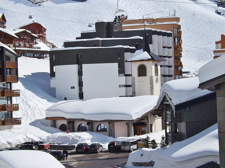
Photo: Wikimedia, CC BY-SA 3.0.
Chapelle Notre-Dame-des-Neiges de Val-Thorens is a church, which is situated 350 metres southeast of Les Châlets de Rosaël.
La Folie Douce Val Thorens
Restaurant

Photo: Chris Bronson, CC BY 3.0.
La Folie Douce Val Thorens is a restaurant, which is situated 800 metres northeast of Les Châlets de Rosaël.
Mont du Borgne
Peak

Photo: Rémih, CC BY-SA 4.0.
Mont du Borgne is a mountain in Savoie, France. It lies in the Massif de la Vanoise range. It has an elevation of 3,153 metres above sea level. Mont du Borgne is situated 2½ km east of Les Châlets de Rosaël.
Places in the Area
Nearby places include Val Thorens and Les Menuires.
Val Thorens

Photo: Tybo2, CC BY-SA 3.0.
Val Thorens is a ski resort in Savoie, France. Val Thorens is the highest Alpine Skiing resort in Europe, with the town itself at 2300m above sea level.
Les Menuires
Village

Photo: Markfox2, Public domain.
Les Menuires is a ski resort in the Belleville valley of Les Trois Vallées between Saint-Martin-de-Belleville and Val Thorens. Owned and operated by Compagnie des Alpes, it is in the Savoie département of France. Les Menuires is situated 4 km northwest of Les Châlets de Rosaël.
Les Châlets de Rosaël
Latitude
45.30012° or 45° 18′ 0″ northLongitude
6.58051° or 6° 34′ 50″ eastOpen location code
8FQ88H2J+26OpenStreetMap ID
way 674135725OpenStreetMap feature
landuse=residential
This page is based on OpenStreetMap, Wikidata, and Wikimedia Commons.
We’d love your help improving our open data sources. Thank you for contributing.
Satellite Map
Discover Les Châlets de Rosaël from above in high-definition satellite imagery.
Notable Places Nearby
Highlights include Police municipale and Ski Cool.
Nearby Places
Explore places such as Chalet Alaska and Chalet Rosaël.
Les Trois Vallées: Must-Visit Destinations
Delve into Brides les Bains, Courchevel, Val Thorens, and Meribel.
Curious Residential Areas to Discover
Uncover intriguing residential areas from every corner of the globe.
About Mapcarta. Data © OpenStreetMap contributors and available under the Open Database License". Text is available under the CC BY-SA 4.0 license, except for photos, directions, and the map. Photo: qwesy qwesy, CC BY 3.0.