es Petit Pirineu
es Petit Pirineu is a house in Puigpunyent, Balearic Islands. es Petit Pirineu is situated nearby to the cemetery cementiri de Puigpunyent, as well as near the spring Font de s’Hort d’Avall.| Tap on a place to explore it |
Places of Interest Nearby
Highlights include Na Bauçà and La Casa del Gegant de Son Puig.
Na Bauçà
Scenic viewpoint
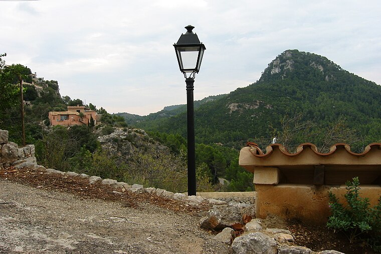 Na Bauçà is a scenic viewpoint, which is situated 1½ km southwest of es Petit Pirineu.
La Casa del Gegant de Son Puig
Archaeological site

Photo: Joan Gené, CC BY-SA 4.0.
La Casa del Gegant de Son Puig is an archaeological site, which is situated 1½ km northeast of es Petit Pirineu.
Puig de Galatzó
Peak

Photo: Wikimedia, CC BY-SA 3.0.
Puig de Galatzó is a peak, which is situated 4 km northwest of es Petit Pirineu.
Places in the Area
Nearby places include Estellencs and Son Vida.
Estellencs
Village

Photo: Derbrauni, CC BY-SA 4.0.
Estellencs is a municipality on the Spanish Balearic island of Majorca. The village of the same name is the administrative seat of the municipality. It borders the municipalities of Andratx, Calvià, Puigpunyent, and Banyalbufar. Estellencs is situated 6 km northwest of es Petit Pirineu.
Son Vida
Suburb

Photo: Joan Gené, CC BY-SA 4.0.
Son Vida is a suburb, which is situated 6 km southeast of es Petit Pirineu.
Calvià
Village

Photo: Wikimedia, Public domain.
Calvià Vila is a town in the municipality of Calvià on the Spanish island of Majorca, which is also part of the autonomous community of the Balearic Islands. Calvià is situated 6 km south of es Petit Pirineu.
es Petit Pirineu
- Type: House
- Categories: building and residential building
- Location: Puigpunyent, Balearic Islands, Spain, Iberia, Europe
- View on OpenStreetMap
Latitude
39.61761° or 39° 37′ 3″ northLongitude
2.52723° or 2° 31′ 38″ eastOpen location code
8FF4JG9G+2VOpenStreetMap ID
way 678440769OpenStreetMap feature
building=house
This page is based on OpenStreetMap, Wikidata, and Wikimedia Commons.
We’d love your help improving our open data sources. Thank you for contributing.
Satellite Map
Discover es Petit Pirineu from above in high-definition satellite imagery.
Notable Places Nearby
Highlights include cementiri de Puigpunyent and Font de s’Hort d’Avall.
Nearby Places
Explore places such as Can Toni Dange and Bellveure.
Balearic Islands: Must-Visit Destinations
Delve into Palma de Mallorca, Formentera, Ibiza, and Maó.
Curious Houses to Discover
Uncover intriguing houses from every corner of the globe.
About Mapcarta. Data © OpenStreetMap contributors and available under the Open Database License". Text is available under the CC BY-SA 4.0 license, except for photos, directions, and the map. Photo: anieto2k, CC BY-SA 2.0.