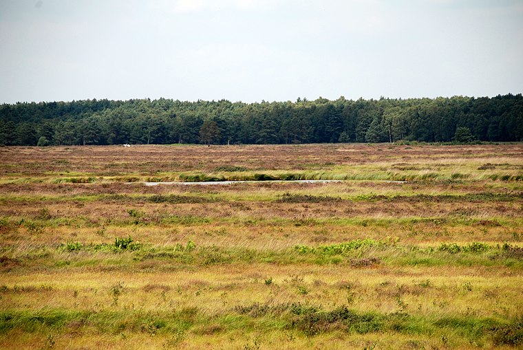
Scherenbosteler Höhe
Scherenbosteler Höhe is a meadow in Langenhagen, Hanover Region, Lower Saxony. Scherenbosteler Höhe is situated nearby to the power station Biogasanlage, as well as near the playground Kinderspielplatz.| Tap on a place to explore it |
Places of Interest Nearby
Highlights include Langenhagen-Kaltenweide station and Augenhand.
Langenhagen-Kaltenweide station
Railway station

Photo: Wikimedia, CC BY-SA 3.0.
Langenhagen-Kaltenweide station is a railway station, which is situated 1 km southeast of Scherenbosteler Höhe.
Augenhand
Work of art

Photo: Euhus, CC BY-SA 3.0.
Augenhand is a work of art, which is situated 1 km southeast of Scherenbosteler Höhe.
Hanover Airport station
Railway station

Photo: Geogast, CC BY-SA 4.0.
Hanover Airport is a railway station located under the terminal of Hanover Airport, Germany. The station is located on a branch of the Heath Railway. The train services are operated by Deutsche Bahn as part of the Hanover S-Bahn. Hanover Airport station is situated 3½ km southwest of Scherenbosteler Höhe.
Places in the Area
Nearby places include Kaltenweide and Krähenwinkel.
Krähenwinkel
Suburb

Photo: Losch, CC BY-SA 4.0.
Krähenwinkel is a suburb, which is situated 3 km south of Scherenbosteler Höhe.
Langenhagen
Town

Photo: Fischchen, CC BY-SA 3.0.
Langenhagen is a town in the Hanover district of Lower Saxony, Germany. Langenhagen is situated 5 km south of Scherenbosteler Höhe.
Scherenbosteler Höhe
- Type: Meadow
- Location: Langenhagen, Hanover Region, Lower Saxony, Germany, Central Europe, Europe
- View on OpenStreetMap
Latitude
52.48614° or 52° 29′ 10″ northLongitude
9.72702° or 9° 43′ 37″ eastOpen location code
9F4FFPPG+FROpenStreetMap ID
way 678741147OpenStreetMap feature
landuse=meadow
This page is based on OpenStreetMap, Wikidata, and Wikimedia Commons.
We’d love your help improving our open data sources. Thank you for contributing.
Satellite Map
Discover Scherenbosteler Höhe from above in high-definition satellite imagery.
Notable Places Nearby
Highlights include Scherenbosteler Höhe and Biogasanlage.
Nearby Places
Explore places such as Kaltenweide / Autobahn and Autobahnmeisterei Hannover.
Hanover Region: Must-Visit Destinations
Delve into Hanover, Hildesheim, Nienburg, and Verden an der Aller.
Curious Meadows to Discover
Uncover intriguing meadows from every corner of the globe.
About Mapcarta. Data © OpenStreetMap contributors and available under the Open Database License". Text is available under the CC BY-SA 4.0 license, except for photos, directions, and the map. Photo: Ukko.de, CC BY-SA 3.0.