機電工程署衞生工程服務機電服務大樓
機電工程署衞生工程服務機電服務大樓 is a building in Kowloon City, Hong Kong. 機電工程署衞生工程服務機電服務大樓 is situated nearby to Queen Elizabeth Hospital, as well as near King’s Park Recreation Ground.| Tap on a place to explore it |
Places of Interest Nearby
Highlights include Queen Elizabeth Hospital and King’s Park Recreation Ground.
Queen Elizabeth Hospital
Hospital

Photo: Wing1990hk, CC BY 3.0.
Queen Elizabeth Hospital, abbreviated as QE or QEH, is one of the largest district general hospital in Hong Kong. It was named after Queen Elizabeth II.

Yau Ma Tei Service Reservoir Rest Garden
Garden
 Yau Ma Tei Service Reservoir Rest Garden is situated 300 metres north of 機電工程署衞生工程服務機電服務大樓.
Places in the Area
Nearby places include Kings Park and Kowloon.
Kowloon

Photo: Wikimedia, CC BY-SA 2.0.
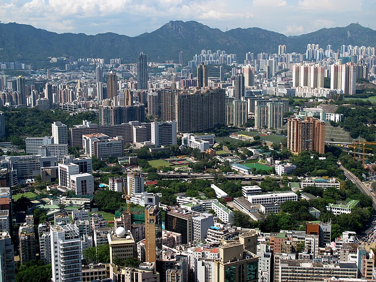
Kowloon is an urban peninsula on the mainland part of Hong Kong, directly across from the Hong Kong Island central business district. With over 2 million people living in an area of less than 47 km², Kowloon is one of the most densely populated places on the planet, and has a matching array of places to shop, eat and sleep.
Yung Shue Tau
Locality

Photo: Kamdooriepang, CC BY-SA 3.0.
Yung Shue Tau is the public square in front of the Tin Hau Temple in Yau Ma Tei of Kowloon in Hong Kong. The name in Cantonese means banyan tree head, and many banyan trees are still there.
機電工程署衞生工程服務機電服務大樓
- Type: Building
- Location: Kowloon City, Hong Kong, East Asia, Asia
- View on OpenStreetMap
Latitude
22.30972° or 22° 18′ 35″ northLongitude
114.17393° or 114° 10′ 26″ eastOpen location code
7PJP855F+VHOpenStreetMap ID
way 689907001OpenStreetMap feature
building=yes
This page is based on OpenStreetMap, Wikidata, and Wikimedia Commons.
We’d love your help improving our open data sources. Thank you for contributing.
Satellite Map
Discover 機電工程署衞生工程服務機電服務大樓 from above in high-definition satellite imagery.
Notable Places Nearby
Highlights include Kowloon Methodist Church and Lands Tribunal.
Nearby Places
Explore places such as Queen Elizabeth Hospital Procurement and Supplies Department - Warehouse and M Block Pathology.
Hong Kong: Must-Visit Destinations
Delve into Kowloon, Hong Kong International Airport, Outlying Islands, and Central Hong Kong.
Curious Buildings to Discover
Uncover intriguing buildings from every corner of the globe.
About Mapcarta. Data © OpenStreetMap contributors and available under the Open Database License". Text is available under the CC BY-SA 4.0 license, except for photos, directions, and the map. Photo: Base64, CC BY-SA 3.0.