Largo de Amaralina
Largo de Amaralina is a square in Salvador, Grande Salvador, Bahia. Largo de Amaralina is situated nearby to the playground Fantástica Fábrica, as well as near the health club Well.| Tap on a place to explore it |
Places of Interest Nearby
Highlights include Pituba Beach and Amaralina Beach.


Places in the Area
Nearby places include Itaigara and Caminho das Árvores.
Itaigara
Suburb

Photo: Sitenl, CC BY-SA 3.0.
Itaigara is a neighbourhood located in the southeastern zone of Salvador, Bahia. Modern and bold lies in a region "noble" of the capital Bahia, inhabited mainly by people with high purchasing power.
Caminho das Árvores
Suburb

Photo: Sitenl, CC BY-SA 3.0.
Caminho das Árvores is a neighborhood located in the southeastern zone of Salvador, Bahia in Brazil. This neighborhood is a mixed of residential and trade area, with majority presence of wealthy classes. Caminho das Árvores is situated 3½ km north of Largo de Amaralina.
Horto Bela Vista
Neighborhood
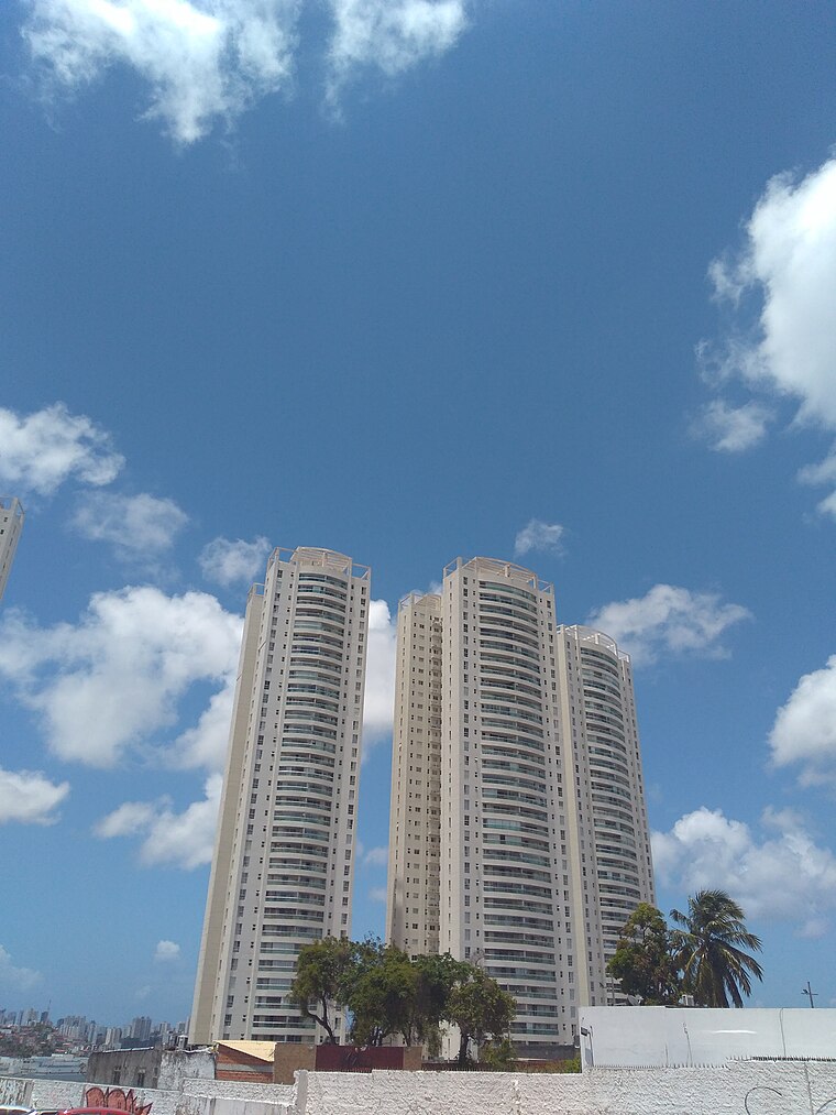
Photo: Ajmcbarreto, CC BY-SA 4.0.
Horto Bela Vista is a neighborhood, which is situated 5 km north of Largo de Amaralina.
Largo de Amaralina
- Type: Square
- Category: locality
- Location: Salvador, Grande Salvador, Bahia, Northeast, Brazil, South America
- View on OpenStreetMap
Latitude
-13.01272° or 13° 0′ 46″ southLongitude
-38.46819° or 38° 28′ 6″ westOpen location code
59R3XGPJ+WPOpenStreetMap ID
way 692078082OpenStreetMap feature
place=square
This page is based on OpenStreetMap, Wikidata, and Wikimedia Commons.
We’d love your help improving our open data sources. Thank you for contributing.
Satellite Map
Discover Largo de Amaralina from above in high-definition satellite imagery.
Notable Places Nearby
Highlights include Fantástica Fábrica and Well.
Nearby Places
Explore places such as Monumento às Baianas and Largo das Baianas.
Grande Salvador: Must-Visit Destinations
Delve into Santo Antônio de Jesus, Cachoeira, Itaparica, and Praia do Forte.
Curious Squares to Discover
Uncover intriguing squares from every corner of the globe.
About Mapcarta. Data © OpenStreetMap contributors and available under the Open Database License". Text is available under the CC BY-SA 4.0 license, except for photos, directions, and the map. Photo: Wikimedia, CC0.