Sporthalle Odershausen
Sporthalle Odershausen is a sports venue in Bad Wildungen, Waldeck-Frankenberg, Hesse which is located on Wildunger Straße. Sporthalle Odershausen is situated nearby to the square Dorfplatz, as well as near the meadow Am Braunauer Weg.| Tap on a place to explore it |
Places of Interest Nearby
Highlights include Wandelhalle Bad Wildungen and Homberg Observation Tower.
Wandelhalle Bad Wildungen
Public building

Photo: Dirk Schmidt, CC BY-SA 3.0.
Wandelhalle Bad Wildungen is a public building, which is situated 2½ km north of Sporthalle Odershausen.
Homberg Observation Tower
Scenic viewpoint

Photo: Dirk Schmidt, CC BY-SA 3.0.
Homberg Observation Tower is a scenic viewpoint, which is situated 4 km northwest of Sporthalle Odershausen.
Kurschattenbrunnen
Fountain
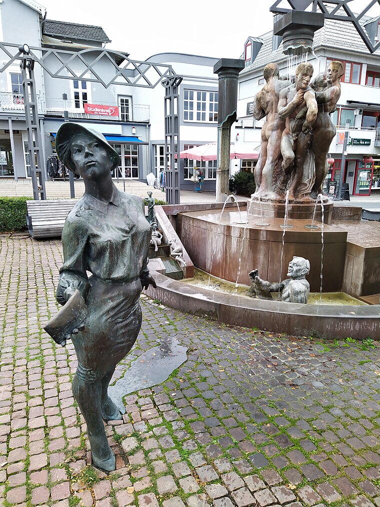
Photo: Gerd Fahrenhorst, CC BY 4.0.
Kurschattenbrunnen is a fountain, which is situated 3 km north of Sporthalle Odershausen.
Sporthalle Odershausen
- Type: Sports venue
- Address: Wildunger Straße 20, Odershausen, Bad Wildungen, 34537
- Categories: recreation area and sports location
- Location: Bad Wildungen, Waldeck-Frankenberg, Kassel, Hesse, Germany, Central Europe, Europe
- View on OpenStreetMap
Latitude
51.08927° or 51° 5′ 21″ northLongitude
9.11441° or 9° 6′ 52″ eastOpen location code
9F3F34Q7+PQOpenStreetMap ID
way 692401166OpenStreetMap feature
leisure=sports_centre
This page is based on OpenStreetMap, Wikidata, and Wikimedia Commons.
We’d love your help improving our open data sources. Thank you for contributing.
Satellite Map
Discover Sporthalle Odershausen from above in high-definition satellite imagery.
Notable Places Nearby
Highlights include Dorfplatz and Am Braunauer Weg.
Nearby Places
Explore places such as Heustübl and Kindergarten Odershausen.
Hesse: Must-Visit Destinations
Delve into Frankfurt, Wiesbaden, Darmstadt, and Kassel.
Curious Sports Venues to Discover
Uncover intriguing sports venues from every corner of the globe.
About Mapcarta. Data © OpenStreetMap contributors and available under the Open Database License". Text is available under the CC BY-SA 4.0 license, except for photos, directions, and the map. Photo: Pedelecs, CC BY-SA 3.0.