Kam Po Building
Kam Po Building is a residential building in Yau Tsim Mong District, Hong Kong which is located on 吳松街 Woosung Street. Kam Po Building is situated nearby to the marketplace Temple Street Night Market, as well as near Ning Po Street/Shanghai Street Rest Garden.| Tap on a place to explore it |
Places of Interest Nearby
Highlights include Yau Ma Tei Public Library and Queen Elizabeth Hospital.
Yau Ma Tei Public Library
Library

Photo: Chong Fat, Public domain.
Yau Ma Tei Public Library is situated 290 metres north of Kam Po Building.
Queen Elizabeth Hospital
Hospital

Photo: Wing1990hk, CC BY 3.0.
Queen Elizabeth Hospital, abbreviated as QE or QEH, is one of the largest district general hospital in Hong Kong. It was named after Queen Elizabeth II. Queen Elizabeth Hospital is situated 460 metres northeast of Kam Po Building.
King George V Memorial Park, Kowloon
Park

Photo: Wing1990hk, CC BY 3.0.
King George V Memorial Park, Kowloon, is a park in Jordan, Kowloon, Hong Kong, located beside Canton Road. There are two parks of this name in Hong Kong. The other one is in Sai Ying Pun, Hong Kong Island. King George V Memorial Park, Kowloon is situated 320 metres southwest of Kam Po Building.
Places in the Area
Nearby places include Yung Shue Tau and Kings Park.
Yung Shue Tau
Locality

Photo: Kamdooriepang, CC BY-SA 3.0.
Yung Shue Tau is the public square in front of the Tin Hau Temple in Yau Ma Tei of Kowloon in Hong Kong. The name in Cantonese means banyan tree head, and many banyan trees are still there.
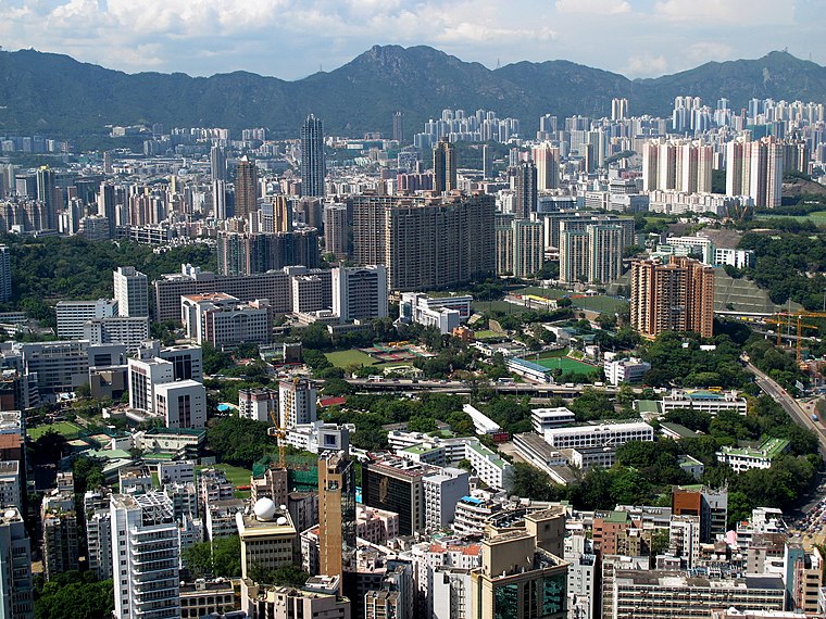
Kowloon

Photo: Wikimedia, CC BY-SA 2.0.
Kowloon is an urban peninsula on the mainland part of Hong Kong, directly across from the Hong Kong Island central business district. With over 2 million people living in an area of less than 47 km², Kowloon is one of the most densely populated places on the planet, and has a matching array of places to shop, eat and sleep.
Kam Po Building
- Type: Residential building
- Address: 67-77 吳松街 Woosung Street
- Category: building
- Location: Yau Tsim Mong District, Hong Kong, East Asia, Asia
- View on OpenStreetMap
Latitude
22.30681° or 22° 18′ 25″ northLongitude
114.17041° or 114° 10′ 14″ eastInception
1963Levels
9Open location code
7PJP854C+P5OpenStreetMap ID
way 694015236OpenStreetMap feature
building=residential
This page is based on OpenStreetMap, Wikidata, and Wikimedia Commons.
We’d love your help improving our open data sources. Thank you for contributing.
Satellite Map
Discover Kam Po Building from above in high-definition satellite imagery.
In Other Languages
“Kam Po Building” goes by many names.
- Chinese: “金寶大廈”
Places with the Same Name
Discover other places named “Kam Po Building”.
Notable Places Nearby
Highlights include Temple Street Night Market and Ning Po Street/Shanghai Street Rest Garden.
Nearby Places
Explore places such as King of Spicy Crab Temple Street and Agatha House.
Hong Kong: Must-Visit Destinations
Delve into Kowloon, Hong Kong International Airport, Outlying Islands, and Central Hong Kong.
Curious Residential Buildings to Discover
Uncover intriguing residential buildings from every corner of the globe.
About Mapcarta. Data © OpenStreetMap contributors and available under the Open Database License". Text is available under the CC BY-SA 4.0 license, except for photos, directions, and the map. Photo: Base64, CC BY-SA 3.0.