Centre d’incendie et de secours de Mougins
Centre d’incendie et de secours de Mougins is a fire station in Mougins, Arrondissement of Grasse, Provence-Alpes-Côte d’Azur. Centre d’incendie et de secours de Mougins is situated nearby to the police station Gendarmerie nationale, as well as near the theater building Scène 55.| Tap on a place to explore it |
Places of Interest Nearby
Highlights include Chapelle Notre-Dame-de-Vie de Mougins and Moulin de Mougins.
Chapelle Notre-Dame-de-Vie de Mougins
Church

Photo: Berdea, CC BY-SA 3.0.
Chapelle Notre-Dame-de-Vie de Mougins is a church, which is situated 1 km northeast of Centre d’incendie et de secours de Mougins.
Moulin de Mougins
Restaurant
The Moulin de Mougins is a celebrated restaurant in France, situated in a 16th-century mill in the inland French Riviera town of Mougins. Founding chef Roger Vergé made the restaurant's name renowned with his novel and light Cuisine de Soleil. Moulin de Mougins is situated 1 km north of Centre d’incendie et de secours de Mougins.
Mougins Center of Photography
Arts center
The Mougins Center of Photography is a photography gallery located in the village of Mougins, in the Alpes-Maritimes department, France. It opened in July 2021. Mougins Center of Photography is situated 1½ km north of Centre d’incendie et de secours de Mougins.
Places in the Area
Nearby places include Le Cannet and La Roquette-sur-Siagne.
Le Cannet
Town
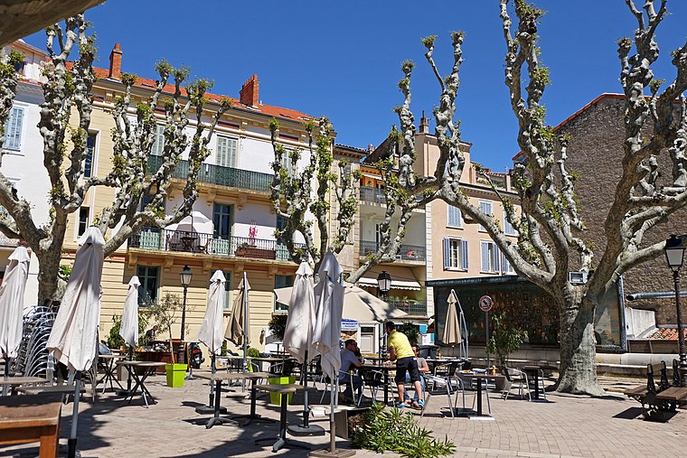
Photo: Jpchevreau, CC BY-SA 3.0.
Le Cannet is a commune of the Alpes-Maritimes department in southeastern France.
La Roquette-sur-Siagne
Village

Photo: Jpchevreau, CC BY-SA 3.0.
La Roquette-sur-Siagne is a commune in the Alpes-Maritimes department in southeastern France. La Roquette-sur-Siagne is situated 3½ km west of Centre d’incendie et de secours de Mougins.
Cannes

Photo: Afernand74, CC BY 2.5.
Once a small fishing village on the French Riviera, Cannes is now a glamorous and expensive seaside town of 73,000 people considered to be one of the social hubs of Europe.
Centre d’incendie et de secours de Mougins
- Type: Fire station
- Also known as: “CS Mougins” and “LE CANNET MOUGINS CABRIERES”
- Location: Mougins, Arrondissement of Grasse, Alpes-Maritimes, Provence-Alpes-Côte d’Azur, France, Europe
- View on OpenStreetMap
Latitude
43.58663° or 43° 35′ 12″ northLongitude
6.99845° or 6° 59′ 54″ eastOpen location code
8FM8HXPX+M9OpenStreetMap ID
way 700528315OpenStreetMap feature
amenity=fire_station
This page is based on OpenStreetMap, Wikidata, and Wikimedia Commons.
We’d love your help improving our open data sources. Thank you for contributing.
Satellite Map
Discover Centre d’incendie et de secours de Mougins from above in high-definition satellite imagery.
Notable Places Nearby
Highlights include Gendarmerie nationale and Scène 55.
Nearby Places
Explore places such as Les Cabrières and École des Cabrières.
Alpes-Maritimes: Must-Visit Destinations
Delve into Nice, Cannes, Antibes, and Menton.
Curious Fire Stations to Discover
Uncover intriguing fire stations from every corner of the globe.
About Mapcarta. Data © OpenStreetMap contributors and available under the Open Database License". Text is available under the CC BY-SA 4.0 license, except for photos, directions, and the map. Photo: Evelyscher, CC BY-SA 4.0.