Prisma Sastamala
Prisma Sastamala is a supermarket in Sastamala, Lounais-Pirkanmaa, Pirkanmaa which is located on Vammalantie. Prisma Sastamala is situated nearby to the park Omenatarha, as well as near the church Sastamalan vapaaseurakunta.| Tap on a place to explore it |
- Opening hours:
Monday—Saturday: 7:00 AM—10:00 PM
Sunday: 9:00 AM—10:00 PM - Email: prisma.sastamala@sok.fi
- Type: Supermarket
- Address: Vammalantie 7, Sastamala, 38200
Places of Interest Nearby
Highlights include Sastamalan Sairaala and Vammalan seuratalo.
Sastamalan Sairaala
Hospital

Photo: PtG, CC BY-SA 3.0.
Sastamalan Sairaala is a hospital, which is situated 540 metres north of Prisma Sastamala.
Vammalan seuratalo
Community center

Photo: PtG, CC BY-SA 4.0.
Vammalan seuratalo is a community center, which is situated 1 km northwest of Prisma Sastamala.
Pukstaavi
Museum

Photo: PtG, CC BY-SA 3.0.
Pukstaavi is a museum, which is situated 1¼ km northwest of Prisma Sastamala.
Places in the Area
Nearby places include Vammala and Kalliala.
Vammala
Town

Photo: Hamartolos, CC BY-SA 3.0.
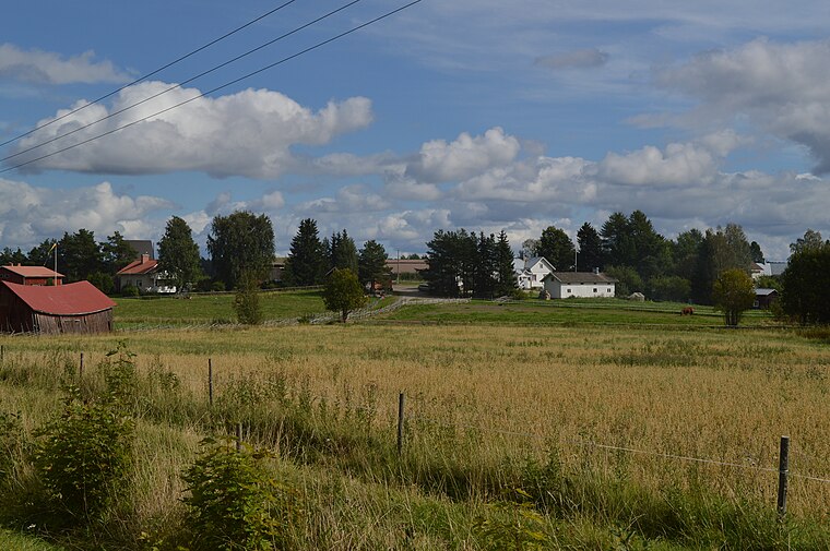
Vammala is a former town and municipality of southwestern Finland, chartered in 1907. On 1 January 2009, Vammala was consolidated with the municipalities of Mouhijärvi and Äetsä, to form a new city named Sastamala.
Prisma Sastamala
- Categories: building, shop, and food
- Location: Sastamala, Lounais-Pirkanmaa, Pirkanmaa, Finnish Lakeland, Finland, Nordic countries, Europe
- View on OpenStreetMap
Latitude
61.33295° or 61° 19′ 59″ northLongitude
22.92462° or 22° 55′ 29″ eastBranch
SastamalaBrand
PrismaOpen location code
9GH48WMF+5ROpenStreetMap ID
way 706768890OpenStreetMap feature
building=supermarketOpenStreetMap feature
shop=supermarket
This page is based on OpenStreetMap, Wikidata, and Wikimedia Commons.
We’d love your help improving our open data sources. Thank you for contributing.
Satellite Map
Discover Prisma Sastamala from above in high-definition satellite imagery.
Notable Places Nearby
Highlights include Omenatarha and Sastamalan vapaaseurakunta.
Nearby Places
Explore places such as Hyvinvointiapteekki Sastamala and Villa Marttilanharju.
Pirkanmaa: Must-Visit Destinations
Delve into Tampere, Nokia, Valkeakoski, and Akaa.
Curious Supermarkets to Discover
Uncover intriguing supermarkets from every corner of the globe.
About Mapcarta. Data © OpenStreetMap contributors and available under the Open Database License". Text is available under the CC BY-SA 4.0 license, except for photos, directions, and the map. Photo: MKFI, Public domain.