Zone de la Cayronie
Zone de la Cayronie is a commercial area in Cransac-les-Thermes, Arrondissement of Villefranche-de-Rouergue, Occitanie. Zone de la Cayronie is situated nearby to the railway station Cransac station, as well as near the post office Aubin Le Gua.| Tap on a place to explore it |
Places of Interest Nearby
Highlights include Cransac station and Église Notre-Dame du Gua.
Cransac station
Railway station

Photo: Pechristener, CC BY-SA 4.0.
Cransac is a railway station in Cransac, Aveyron, Occitanie, France. The station is on the Capdenac–Rodez railway line. The station is served by Intercités de nuit and TER services operated by SNCF. Cransac station is situated 360 metres southeast of Zone de la Cayronie.
Église Notre-Dame du Gua
Church

Photo: Thérèse Gaigé, CC BY-SA 3.0.
Église Notre-Dame du Gua is a church, which is situated 580 metres northwest of Zone de la Cayronie.
Saint Julian Church in Cransac-les-Thermes
Church

Photo: Tournasol7, CC BY-SA 4.0.
Saint Julian Church in Cransac-les-Thermes is situated 1 km east of Zone de la Cayronie.
Places in the Area
Nearby places include Decazeville and Valzergues.
Decazeville
Town

Photo: Fraxinus, CC BY-SA 3.0.
Decazeville is a commune in the Aveyron department in the Occitanie region in southern France. The commune was created in the 19th century because of the Industrial Revolution and was named after the Duke of Decazes, the founder of the factory that created the town. Decazeville is situated 4 km north of Zone de la Cayronie.
Valzergues
Village
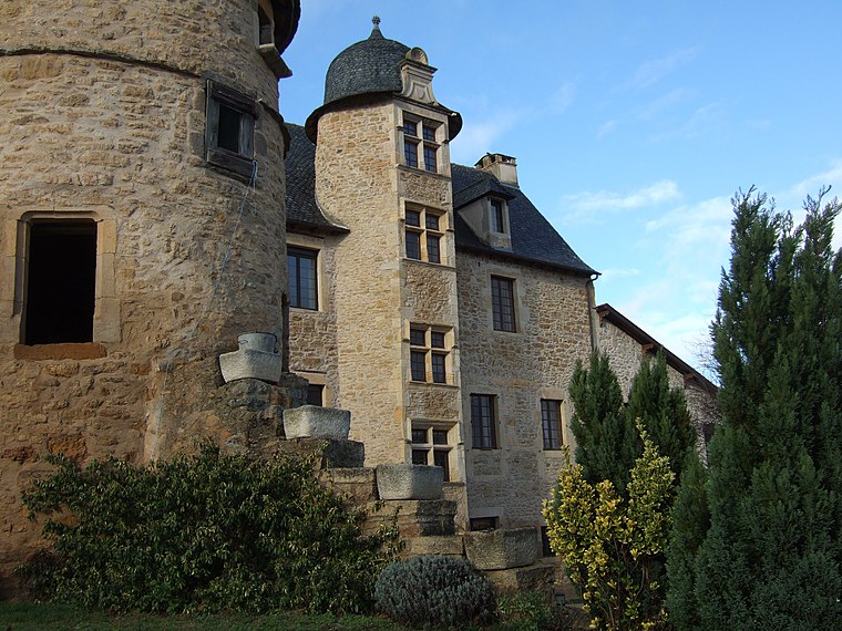
Photo: Wikimedia, CC BY-SA 3.0.
Valzergues is a commune in the Aveyron department in southern France. Valzergues is situated 5 km southwest of Zone de la Cayronie.
Montbazens
Village

Photo: Thérèse Gaigé, CC BY-SA 3.0.
Montbazens is a commune in the Aveyron department in southern France. Montbazens is situated 6 km southwest of Zone de la Cayronie.
Zone de la Cayronie
Latitude
44.52576° or 44° 31′ 33″ northLongitude
2.27006° or 2° 16′ 12″ eastOpen location code
8FP4G7GC+82OpenStreetMap ID
way 71224550OpenStreetMap feature
landuse=retail
This page is based on OpenStreetMap, Wikidata, and Wikimedia Commons.
We’d love your help improving our open data sources. Thank you for contributing.
Satellite Map
Discover Zone de la Cayronie from above in high-definition satellite imagery.
Notable Places Nearby
Highlights include Aubin Le Gua and Aire de Camping-car municipale, Cransac.
Nearby Places
Explore places such as Garage Lignac and Autovision.
Curious Commercial Areas to Discover
Uncover intriguing commercial areas from every corner of the globe.
About Mapcarta. Data © OpenStreetMap contributors and available under the Open Database License". Text is available under the CC BY-SA 4.0 license, except for photos, directions, and the map. Photo: Inkey, Public domain.