Dorfgemeinschaft Peigen
Dorfgemeinschaft Peigen is a building in Pilsting, Markt, Dingolfing-Landau, Bavaria. Dorfgemeinschaft Peigen is situated nearby to the park Dorfplatz, as well as near the church Dorfkapelle Peigen.| Tap on a place to explore it |
Places of Interest Nearby
Highlights include Pfarrkirche Mariä Himmelfahrt and Isarauen bei Goben.
Pfarrkirche Mariä Himmelfahrt
Church
 Pfarrkirche Mariä Himmelfahrt is a church, which is situated 790 metres north of Dorfgemeinschaft Peigen.
Isarauen bei Goben
Nature reserve

Photo: Rosa-Maria Rinkl, CC BY-SA 4.0.
Isarauen bei Goben is a nature reserve, which is situated 2½ km south of Dorfgemeinschaft Peigen.
Landau (Isar)
Railway station
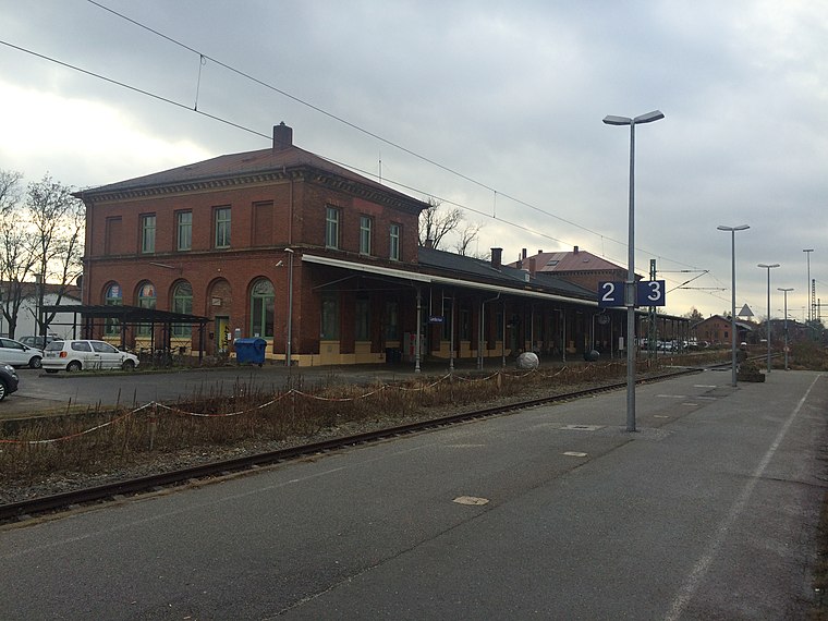
Photo: MaxEmanuel, CC BY-SA 4.0.
Landau (Isar) is a railway station, which is situated 3½ km east of Dorfgemeinschaft Peigen.
Places in the Area
Nearby places include Pilsting and Zulling.
Pilsting
Village

Photo: Konrad Lackerbeck, CC BY 3.0.
Pilsting is a municipality in the district of Dingolfing-Landau in Bavaria in Germany.
Zulling
Village

Photo: Herr blaschke, CC BY-SA 3.0.
Zulling is a village, which is situated 3 km south of Dorfgemeinschaft Peigen.
Usterling
Village

Photo: Sue107, CC BY-SA 3.0.
Usterling is a village, which is situated 3½ km south of Dorfgemeinschaft Peigen.
Dorfgemeinschaft Peigen
- Type: Building
- Location: Pilsting, Markt, Dingolfing-Landau, Lower Bavaria, Bavaria, Germany, Central Europe, Europe
- View on OpenStreetMap
Latitude
48.69236° or 48° 41′ 33″ northLongitude
12.65115° or 12° 39′ 4″ eastOpen location code
8FWJMMR2+WFOpenStreetMap ID
way 714754661OpenStreetMap feature
building=yes
This page is based on OpenStreetMap, Wikidata, and Wikimedia Commons.
We’d love your help improving our open data sources. Thank you for contributing.
Satellite Map
Discover Dorfgemeinschaft Peigen from above in high-definition satellite imagery.
Notable Places Nearby
Highlights include Dorfplatz and Dorfkapelle Peigen.
Nearby Places
Explore places such as Peigen and Lau Fahrzeugbau.
Lower Bavaria: Must-Visit Destinations
Delve into Passau, Landshut, Straubing, and Deggendorf.
Curious Buildings to Discover
Uncover intriguing buildings from every corner of the globe.
About Mapcarta. Data © OpenStreetMap contributors and available under the Open Database License". Text is available under the CC BY-SA 4.0 license, except for photos, directions, and the map. Photo: Wikimedia, CC0.