Centrale Solaire de Miradoux
Centrale Solaire de Miradoux is a power station in Gimbrède, Arrondissement of Condom, Occitanie. Centrale Solaire de Miradoux is situated nearby to the village Flamarens, as well as near Castet-Arrouy.| Tap on a place to explore it |
Places of Interest Nearby
Highlights include Église Saint-Georges de Gimbrède and Église Saint-Jacques de Rouillac.
Église Saint-Georges de Gimbrède
Church

Photo: F123, CC BY-SA 4.0.
Église Saint-Georges de Gimbrède is a church, which is situated 2½ km northwest of Centrale Solaire de Miradoux.
Église Saint-Jacques de Rouillac
Church

Photo: F123, CC BY-SA 4.0.
Église Saint-Jacques de Rouillac is a church, which is situated 3 km west of Centrale Solaire de Miradoux.
Château de Flamarens
Castle

Photo: Renhour48, CC BY-SA 4.0.
The Château de Flamarens is a castle in the commune of Flamarens in the Gers département of France. A castrum is mentioned on the site in 1289, and is believed to have been remodelled in the 14th century. Château de Flamarens is situated 4 km east of Centrale Solaire de Miradoux.
Places in the Area
Nearby places include Miradoux and Flamarens.
Miradoux
Village
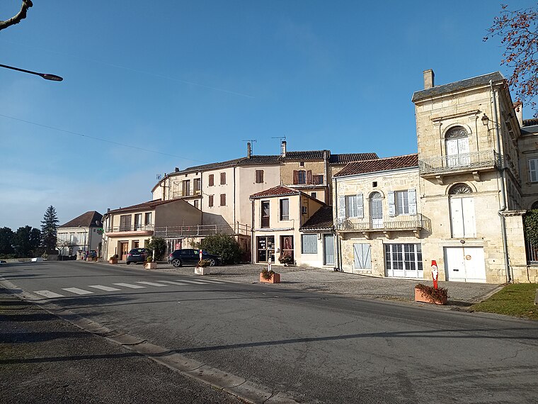
Photo: F123, CC BY-SA 4.0.
Miradoux is a commune in the Gers department in southwestern France. Miradoux is situated 3 km south of Centrale Solaire de Miradoux.
Flamarens
Village

Photo: F123, CC BY-SA 4.0.
Flamarens is a commune located in the northeast of the Gers department in the Occitanie administrative region. Historically and culturally, the commune is in the Lomagne region, a former district of the Gascony province. Flamarens is situated 4 km east of Centrale Solaire de Miradoux.
Castet-Arrouy
Village

Photo: Renhour48, CC BY-SA 4.0.
Castet-Arrouy is a commune in the Gers department in southwestern France. Castet-Arrouy is situated 6 km southwest of Centrale Solaire de Miradoux.
Centrale Solaire de Miradoux
- Type: Power station
- Category: industry
- Location: Gimbrède, Arrondissement of Condom, Gers, Occitanie, France, Europe
- View on OpenStreetMap
Latitude
44.02595° or 44° 1′ 33″ northLongitude
0.74416° or 0° 44′ 39″ eastInception
April 21st, 2011Open location code
8FP22PGV+9MOpenStreetMap ID
way 721050209OpenStreetMap feature
landuse=industrial
This page is based on OpenStreetMap, Wikidata, and Wikimedia Commons.
We’d love your help improving our open data sources. Thank you for contributing.
Satellite Map
Discover Centrale Solaire de Miradoux from above in high-definition satellite imagery.
Notable Places Nearby
Highlights include Place de l’Église and Place de la Commanderie.
Nearby Places
Explore places such as Moulin Neuf and Labatut.
Gers: Must-Visit Destinations
Delve into Auch, Mirande, Marciac, and Saint-Mont.
Curious Power Stations to Discover
Uncover intriguing power stations from every corner of the globe.
About Mapcarta. Data © OpenStreetMap contributors and available under the Open Database License". Text is available under the CC BY-SA 4.0 license, except for photos, directions, and the map. Photo: Chrwalker, CC BY-SA 3.0.