Prímagáz töltőüzem
Prímagáz töltőüzem is in Hungary. Prímagáz töltőüzem is situated nearby to the suburb Tápé.| Tap on a place to explore it |
Places of Interest Nearby
Highlights include Algyõ library and Railway bridge over the Tisza river near Algyő.
Algyõ library
Library

Photo: Szabó Noémi, Public domain.
Algyõ library is situated 1½ km north of Prímagáz töltőüzem.
Railway bridge over the Tisza river near Algyő
Bridge

Photo: Beroesz, CC BY-SA 4.0.
Railway bridge over the Tisza river near Algyő is situated 3½ km north of Prímagáz töltőüzem.
Places in the Area
Nearby places include Tápé and Makkosház.
Tápé
Suburb
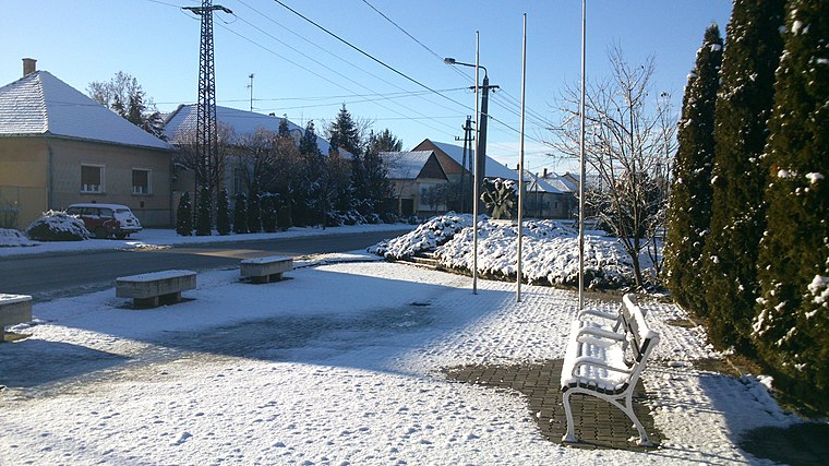
Photo: SlowlyJohny, CC BY-SA 3.0.
Tápé is a suburb, which is situated 7 km south of Prímagáz töltőüzem.
Makkosház
Suburb

Photo: Wikimedia, CC BY-SA 4.0.
Makkosház is a suburb, which is situated 7 km southwest of Prímagáz töltőüzem.
Újszeged
Suburb

Photo: 13HistoriaStef, CC BY-SA 4.0.
Újszeged is a suburb, which is situated 9 km south of Prímagáz töltőüzem.
Prímagáz töltőüzem
- Type: Industry
- Location: Hungary, Central Europe, Europe
- View on OpenStreetMap
Latitude
46.31959° or 46° 19′ 11″ northLongitude
20.21664° or 20° 12′ 60″ eastOpen location code
8GR28698+RMOpenStreetMap ID
way 729071470OpenStreetMap feature
landuse=industrial
This page is based on OpenStreetMap, Wikidata, and Wikimedia Commons.
We’d love your help improving our open data sources. Thank you for contributing.
Satellite Map
Discover Prímagáz töltőüzem from above in high-definition satellite imagery.
Notable Places Nearby
Highlights include Szent Anna templom and Szabadtéri edzőgépek.
Nearby Places
Explore places such as A magyar repülés fejlődéséért az életüket áldozták and Levendula Hotel.
Hungary: Must-Visit Destinations
Delve into Budapest, Sopron, Győr, and Debrecen.
Curious Places to Discover
Uncover intriguing places from every corner of the globe.
About Mapcarta. Data © OpenStreetMap contributors and available under the Open Database License". Text is available under the CC BY-SA 4.0 license, except for photos, directions, and the map. Photo: Grin, CC BY-SA 3.0.