Middle Field
Middle Field is a pitch in Allegheny County, Pittsburgh Region, Pennsylvania. Middle Field is situated nearby to the pitch Clint Seymour Field, as well as near Dixon Field.| Tap on a place to explore it |
Places of Interest Nearby
Highlights include Mt. Lebanon Park and Saint Clair Memorial Hospital.

Saint Clair Memorial Hospital
Hospital
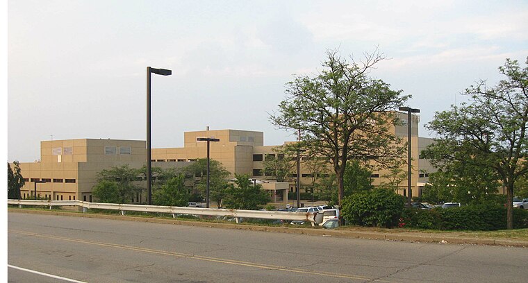
Photo: Jim.henderson, Public domain.
Saint Clair Memorial Hospital is situated 3,300 feet northwest of Middle Field.
Mt. Lebanon Public Library
Library

Photo: Jim.henderson, CC0.
Mt. Lebanon Public Library is situated 3,500 feet east of Middle Field.
Places in the Area
Nearby places include Mt. Lebanon and Scott Township.
Mt. Lebanon
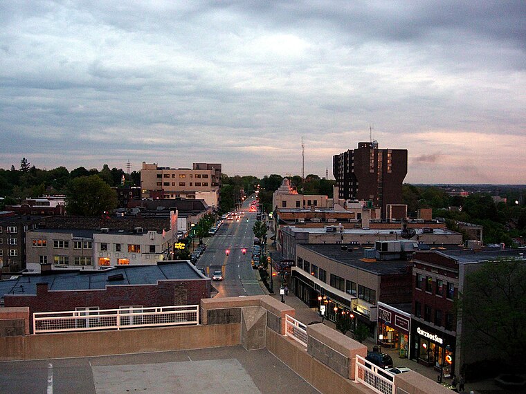
Photo: Pittsburgh7, Public domain.
Mt. Lebanon is an affluent suburb in Allegheny County, Pennsylvania, about seven miles south of Downtown Pittsburgh. Uptown Mt. Lebanon, a business district along Washington Road in the northern part of the township, is one of the more prominent business districts in the area outside of Pittsburgh itself.
Scott Township
Town
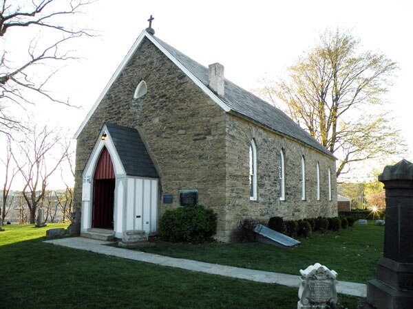
Photo: Leepaxton, CC BY-SA 4.0.
Scott Township is a township in Allegheny County, Pennsylvania, United States. The population was 17,024 at the 2010 census. Scott Township is situated 1½ miles northwest of Middle Field.
Green Tree
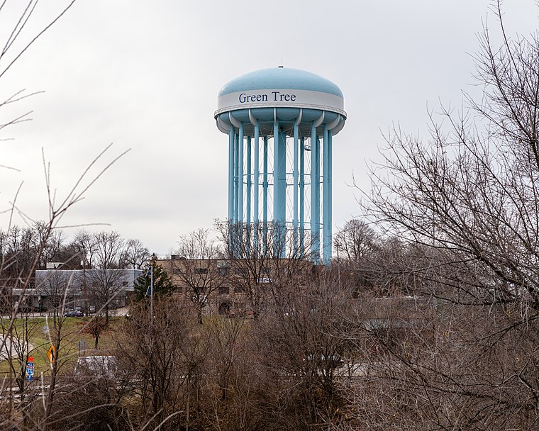
Photo: Generic1139, CC BY-SA 3.0.
Green Tree is a borough of Allegheny County, near Pittsburgh. It is located along I-376, between Pittsburgh to the east and Robinson Township and the Pittsburgh International Airport to the west.
Middle Field
- Type: Pitch
- Categories: baseball, recreation area, and sports location
- Location: Allegheny County, Pittsburgh Region, Pennsylvania, Mid-Atlantic, United States, North America
- View on OpenStreetMap
Latitude
40.37367° or 40° 22′ 25″ northLongitude
-80.05708° or 80° 3′ 26″ westOpen location code
86GX9WFV+F5OpenStreetMap ID
way 738681164OpenStreetMap feature
leisure=pitchOpenStreetMap feature
sport=baseball
This page is based on OpenStreetMap, Wikidata, and Wikimedia Commons.
We’d love your help improving our open data sources. Thank you for contributing.
Satellite Map
Discover Middle Field from above in high-definition satellite imagery.
Places with the Same Name
Discover other places named “Middle Field”.
Notable Places Nearby
Highlights include Clint Seymour Field and Dixon Field.
Nearby Places
Explore places such as Mt. Lebanon Federal Credit Union and MTLHS Athletic Complex.
Allegheny County: Must-Visit Destinations
Delve into Pittsburgh, Oakland, Downtown Pittsburgh, and South Side.
Curious Pitches to Discover
Uncover intriguing pitches from every corner of the globe.
About Mapcarta. Data © OpenStreetMap contributors and available under the Open Database License". Text is available under the CC BY-SA 4.0 license, except for photos, directions, and the map. Photo: Albright.kevin.s, CC BY-SA 3.0.