Shooting Range
Shooting Range is a pitch in Fremont, Idaho. Shooting Range is situated nearby to the pitch Archery Range.| Tap on a place to explore it |
Places in the Area
Nearby places include Island Park and Last Chance.
Island Park
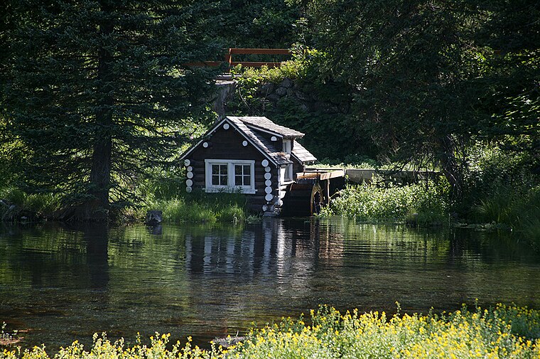
Photo: Wikimedia, Public domain.
Island Park is a city in Fremont County, Idaho, United States. The city's population was 193 at the 2020 census, down from 286 in 2010. The city was incorporated by owners of the many lodges and resorts along U.S. Route 20 in 1947, primarily to circumvent Idaho's liquor laws that prohibited the sale of liquor outside of city limits.
Last Chance
Hamlet
Last Chance was a former unincorporated community along Henrys Fork in Fremont County, Idaho, United States, near the city of Island Park. The site originally was promoted as the "last chance" resort for the next 40 miles, hence the name. Last Chance is situated 6 miles west of Shooting Range.
Shooting Range
- Type: Pitch
- Categories: shooting sports, recreation area, and sports location
- Location: Fremont, Idaho, Rocky Mountains, United States, North America
- View on OpenStreetMap
Latitude
44.37273° or 44° 22′ 22″ northLongitude
-111.27878° or 111° 16′ 44″ westOpen location code
85PC9PFC+3FOpenStreetMap ID
way 739704676OpenStreetMap feature
leisure=pitchOpenStreetMap feature
sport=shooting
This page is based on OpenStreetMap, Wikidata, and Wikimedia Commons.
We’d love your help improving our open data sources. Thank you for contributing.
Satellite Map
Discover Shooting Range from above in high-definition satellite imagery.
Places with the Same Name
Discover other places named “Shooting Range”.
Notable Places Nearby
Highlights include Archery Range and Ripley Butte.
Nearby Places
Explore places such as Buffalo Campground and Sinclair.
Idaho: Must-Visit Destinations
Delve into Boise, Idaho Falls, Coeur d’Alene, and Moscow.
Curious Pitches to Discover
Uncover intriguing pitches from every corner of the globe.
About Mapcarta. Data © OpenStreetMap contributors and available under the Open Database License". Text is available under the CC BY-SA 4.0 license, except for photos, directions, and the map. Photo: Lumpytrout, CC BY-SA 3.0.