Feuerwehr Bielefeld, LA Ummeln
Feuerwehr Bielefeld, LA Ummeln is a fire station in Bielefeld, Detmold, North Rhine-Westphalia which is located on Steinhagener Straße. Feuerwehr Bielefeld, LA Ummeln is situated nearby to Bürgerpark Ummeln, as well as near Clubhaus am Trüggelbach.| Tap on a place to explore it |
Places of Interest Nearby
Highlights include Ev. Kirche Ummeln and Feuchtwiesen Röhrmann.
Ev. Kirche Ummeln
Church

Photo: Hagar66, CC BY-SA 3.0.
Ev. Kirche Ummeln is a church, which is situated 1¼ km northeast of Feuerwehr Bielefeld, LA Ummeln.
Feuchtwiesen Röhrmann
Nature reserve

Photo: Bielibob, CC BY-SA 3.0.
Feuchtwiesen Röhrmann is a nature reserve.
Reiher- und Röhrbach
Nature reserve
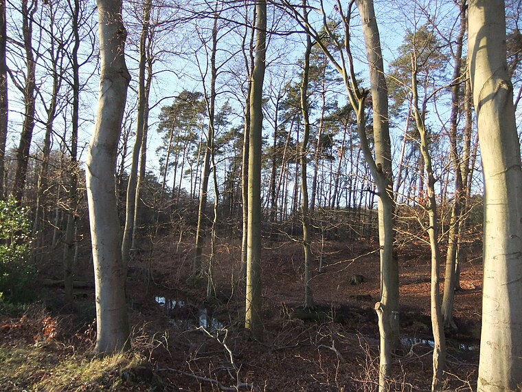
Photo: Bielibob, CC BY-SA 3.0.
Reiher- und Röhrbach is a nature reserve, which is situated 2½ km southeast of Feuerwehr Bielefeld, LA Ummeln.
Places in the Area
Nearby places include Isselhorst and Hollen.
Isselhorst
Suburb

Photo: Wikimedia, CC BY-SA 3.0.
Isselhorst is a suburb, which is situated 3½ km southwest of Feuerwehr Bielefeld, LA Ummeln.
Hollen
Suburb

Photo: Erdkröte, Public domain.
Hollen is a suburb, which is situated 5 km west of Feuerwehr Bielefeld, LA Ummeln.
Steinhagen
Town

Photo: InnovativeSights, CC BY 3.0.
Steinhagen is a municipality in the district of Gütersloh in the state of North Rhine-Westphalia, Germany. It is located on the south slope of the Teutoburg Forest, approx. Steinhagen is situated 5 km northwest of Feuerwehr Bielefeld, LA Ummeln.
Feuerwehr Bielefeld, LA Ummeln
- Type: Fire station
- Address: Steinhagener Straße 3b, Bielefeld, 33649
- Location: Bielefeld, Detmold, Teutoburg Forest, North Rhine-Westphalia, Germany, Central Europe, Europe
- View on OpenStreetMap
Latitude
51.96527° or 51° 57′ 55″ northLongitude
8.45487° or 8° 27′ 18″ eastOperator
Feuerwehr BielefeldOpen location code
9F3CXF83+4WOpenStreetMap ID
way 739745929OpenStreetMap feature
amenity=fire_station
This page is based on OpenStreetMap, Wikidata, and Wikimedia Commons.
We’d love your help improving our open data sources. Thank you for contributing.
Satellite Map
Discover Feuerwehr Bielefeld, LA Ummeln from above in high-definition satellite imagery.
Notable Places Nearby
Highlights include Bürgerpark Ummeln and Clubhaus am Trüggelbach.
Nearby Places
Explore places such as Akazienstraße and Goldbeck.
Teutoburg Forest: Must-Visit Destinations
Delve into Paderborn, Detmold, Gütersloh, and Minden.
Curious Fire Stations to Discover
Uncover intriguing fire stations from every corner of the globe.
About Mapcarta. Data © OpenStreetMap contributors and available under the Open Database License". Text is available under the CC BY-SA 4.0 license, except for photos, directions, and the map. Photo: Wikimedia, CC0.