Mount Hope United Methodist Church Cemetery
Mount Hope United Methodist Church Cemetery is a cemetery in Bath, Virginia. Mount Hope United Methodist Church Cemetery is situated nearby to Grose Spring, as well as near the reservoir Lake Bacova.| Tap on a place to explore it |
Places in the Area
Nearby places include Bacova and Bacova Junction.
Bacova
Hamlet
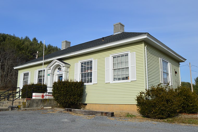
Photo: Nyttend, Public domain.
Bacova is an unincorporated community in Bath County, Virginia, United States. It was created in the early 20th century as a company town; its name is simply an abbreviation of Bath County, VA.
Bacova Junction
Hamlet
Bacova Junction is an unincorporated community in Bath County, Virginia, United States. Bacova Junction is situated 2.9 miles west of Hot Springs, and state routes 615 and 687 converge in the community. Bacova Junction is situated 2½ miles south of Mount Hope United Methodist Church Cemetery.
Crowdertown
Hamlet
Crowdertown is an unincorporated community in Bath County, Virginia, United States. Crowdertown is situated 2½ miles south of Mount Hope United Methodist Church Cemetery.
Mount Hope United Methodist Church Cemetery
- Type: Cemetery
- Denomination: United Methodist
- Categories: church, historic site, and burial
- Location: Bath, Virginia, South, United States, North America
- View on OpenStreetMap
Latitude
38.04623° or 38° 2′ 46″ northLongitude
-79.86325° or 79° 51′ 48″ westElevation
1,749 feet (533 metres)Open location code
87C224WP+FPOpenStreetMap ID
way 740853075OpenStreetMap feature
amenity=grave_yardOpenStreetMap feature
historic=churchOpenStreetMap feature
landuse=cemeteryOpenStreetMap attribute
denomination=united_methodist
This page is based on OpenStreetMap, Wikidata, and Wikimedia Commons.
We’d love your help improving our open data sources. Thank you for contributing.
Satellite Map
Discover Mount Hope United Methodist Church Cemetery from above in high-definition satellite imagery.
Places with the Same Name
Discover other places named “Mount Hope United Methodist Church Cemetery”.
Notable Places Nearby
Highlights include Grose Spring and Lake Bacova.
Nearby Places
Explore places such as Jackson River near Bacova and Amalgamated Consolidated.
Virginia: Must-Visit Destinations
Delve into Richmond, Arlington, Virginia Beach, and Norfolk.
Curious Cemeteries to Discover
Uncover intriguing cemeteries from every corner of the globe.
About Mapcarta. Data © OpenStreetMap contributors and available under the Open Database License". Text is available under the CC BY-SA 4.0 license, except for photos, directions, and the map. Photo: Wikimedia, CC0.