MillerCoors Brewery
MillerCoors Brewery is a factory in Rockingham, Virginia. MillerCoors Brewery is situated nearby to the hamlet Berrytown, as well as near the peak Rocky Mount.| Tap on a place to explore it |
Places in the Area
Nearby places include Berrytown and Inglewood.
Berrytown
Hamlet
Berrytown is an unincorporated community in Rockingham County, Virginia, United States. Its elevation is 1,010 ft, and it is located at.
Inglewood
Hamlet
Inglewood is an unincorporated community in Rockingham County, Virginia, United States. It is located northwest of Berrytown. Inglewood is part of the Harrisonburg Metropolitan Statistical Area. Inglewood is situated 2½ miles north of MillerCoors Brewery.
McGaheysville
Village
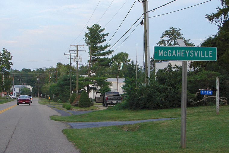
Photo: P199, CC BY-SA 4.0.
McGaheysville is a Census-designated place located in Rockingham County, in the U.S. state of Virginia. It is located along U.S. Route 33 between Penn Laird and Elkton, and sits at the base of the Massanutten. McGaheysville is situated 3 miles west of MillerCoors Brewery.
MillerCoors Brewery
- Type: Factory
- Category: industry
- Location: Rockingham, Virginia, South, United States, North America
- View on OpenStreetMap
Latitude
38.35643° or 38° 21′ 23″ northLongitude
-78.67591° or 78° 40′ 33″ westOperator
Molson Coors Beverage Company USA LLCOpen location code
87C3984F+HJOpenStreetMap ID
way 741011711OpenStreetMap feature
landuse=industrialOpenStreetMap feature
man_made=works
This page is based on OpenStreetMap, Wikidata, and Wikimedia Commons.
We’d love your help improving our open data sources. Thank you for contributing.
Satellite Map
Discover MillerCoors Brewery from above in high-definition satellite imagery.
Notable Places Nearby
Highlights include Rocky Mount and Mount Olivet Christian Church.
Nearby Places
Explore places such as Merck Pharmaceutical and Merck Substation.
Virginia: Must-Visit Destinations
Delve into Richmond, Arlington, Virginia Beach, and Norfolk.
Curious Factories to Discover
Uncover intriguing factories from every corner of the globe.
About Mapcarta. Data © OpenStreetMap contributors and available under the Open Database License". Text is available under the CC BY-SA 4.0 license, except for photos, directions, and the map. Photo: Wikimedia, CC0.