Innotech Versorgungstechnik
Innotech Versorgungstechnik is a factory in Blankenfelde-Mahlow, Teltow-Fläming, Brandenburg. Innotech Versorgungstechnik is situated nearby to the grassland Driving Range, as well as near the golf course Golfclub Mahlow e.V..| Tap on a place to explore it |
Places of Interest Nearby
Highlights include Torfbusch and Mahlow station.
Torfbusch
Protected area

Photo: Peschulz, CC BY-SA 4.0.
Torfbusch is a protected area, which is situated 1 km southeast of Innotech Versorgungstechnik.
Mahlow station
Railway station

Photo: Global Fish, CC BY-SA 3.0.
Mahlow station is a station in the town of Mahlow in the municipality of Blankenfelde-Mahlow in the district of Teltow-Fläming in the German state of Brandenburg. It is on the Berlin–Dresden suburban line and is served by Berlin S-Bahn line S2. Mahlow station is situated 2 km west of Innotech Versorgungstechnik.
Village church Glasow
Church

Photo: Assenmacher, CC BY-SA 4.0.
Village church Glasow is situated 1½ km south of Innotech Versorgungstechnik.
Places in the Area
Nearby places include Selchow and Klein Ziethen.
Selchow
Village

Photo: Wikimedia, CC BY-SA 2.0.
The small village of Selchow is one of the six districts of the municipality of Schönefeld in the district of Dahme-Spreewald south of Berlin, Germany.

Waßmannsdorf
Village
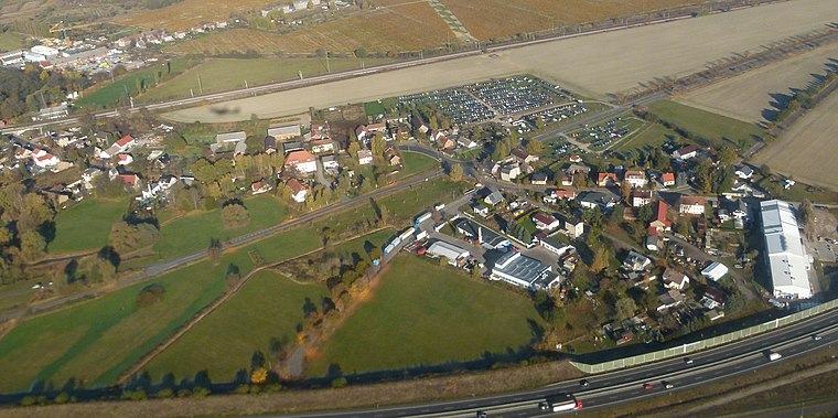
Photo: Brücke-Osteuropa, CC0.
Waßmannsdorf is a village and a civil parish of the German town of Schönefeld, located in the district of Dahme-Spreewald in Brandenburg. As of 2007 its population was of around 1,000. Waßmannsdorf is situated 3 km northeast of Innotech Versorgungstechnik.
Innotech Versorgungstechnik
- Type: Factory
- Category: industry
- Location: Blankenfelde-Mahlow, Teltow-Fläming, Brandenburg, Germany, Central Europe, Europe
- View on OpenStreetMap
Latitude
52.35885° or 52° 21′ 32″ northLongitude
13.43817° or 13° 26′ 17″ eastOpen location code
9F4M9C5Q+G7OpenStreetMap ID
way 749560829OpenStreetMap feature
landuse=industrialOpenStreetMap feature
man_made=works
This page is based on OpenStreetMap, Wikidata, and Wikimedia Commons.
We’d love your help improving our open data sources. Thank you for contributing.
Satellite Map
Discover Innotech Versorgungstechnik from above in high-definition satellite imagery.
Notable Places Nearby
Highlights include Driving Range and Golfclub Mahlow e.V..
Nearby Places
Explore places such as Löwe Zaunpark and Anlieferung 2.
Brandenburg: Must-Visit Destinations
Delve into Potsdam, Cottbus, Frankfurt an der Oder, and Brandenburg an der Havel.
Curious Factories to Discover
Uncover intriguing factories from every corner of the globe.
About Mapcarta. Data © OpenStreetMap contributors and available under the Open Database License". Text is available under the CC BY-SA 4.0 license, except for photos, directions, and the map. Photo: Leviathan1983, CC BY-SA 3.0.