Schweinemastbetrieb
Schweinemastbetrieb is in Harsum, Hildesheim, Lower Saxony. Schweinemastbetrieb is situated nearby to the park Sonoytaplatz, as well as near the village Borsum.| Tap on a place to explore it |
Places of Interest Nearby
Highlights include St. Martinus and St. Cäcilia.
St. Martinus
Church

Photo: Rabanus Flavus, Public domain.
St. Martinus is a church, which is situated 1¼ km east of Schweinemastbetrieb.
St. Cäcilia
Church

Photo: Kassandro, CC BY-SA 4.0.
St. Cäcilia is a church, which is situated 2 km west of Schweinemastbetrieb.
Schwarzerdeprofil Asel
Nature reserve

Photo: AxelHH, CC BY-SA 3.0.
Schwarzerdeprofil Asel is a nature reserve.
Places in the Area
Nearby places include Borsum and Asel (Harsum).

Asel (Harsum)
Village
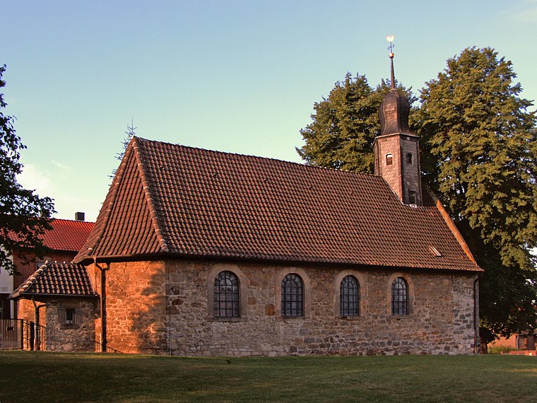
Photo: Kirchenfan, CC0.
Asel (Harsum) is a village, which is situated 2½ km southwest of Schweinemastbetrieb.
Hönnersum
Village

Photo: Kirchenfan, CC0.
Hönnersum is a village, which is situated 2½ km south of Schweinemastbetrieb.
Schweinemastbetrieb
- Type: Commerce
- Location: Harsum, Hildesheim, Lower Saxony, Germany, Central Europe, Europe
- View on OpenStreetMap
Latitude
52.21035° or 52° 12′ 37″ northLongitude
9.99294° or 9° 59′ 35″ eastOpen location code
9F4F6X6V+45OpenStreetMap ID
way 75086915OpenStreetMap feature
landuse=commercial
This page is based on OpenStreetMap, Wikidata, and Wikimedia Commons.
We’d love your help improving our open data sources. Thank you for contributing.
Satellite Map
Discover Schweinemastbetrieb from above in high-definition satellite imagery.
Notable Places Nearby
Highlights include Sonoytaplatz and Postfiliale 434.
Nearby Places
Explore places such as Inselgrill Borsum and Freie Tankstelle.
Lower Saxony: Must-Visit Destinations
Delve into Hanover, Göttingen, Brunswick, and Wolfsburg.
Curious Places to Discover
Uncover intriguing places from every corner of the globe.
About Mapcarta. Data © OpenStreetMap contributors and available under the Open Database License". Text is available under the CC BY-SA 4.0 license, except for photos, directions, and the map. Photo: Danapit, CC BY-SA 3.0.