Dickbusch
Dickbusch is a forest in Blankenbach, Aschaffenburg, Bavaria. Dickbusch is situated nearby to the village Blankenbach, as well as near Erlenbach.| Tap on a place to explore it |
Places of Interest
Highlights include Klosterberg (Spessart) and Rottenberg.
Klosterberg (Spessart)
Peak

Photo: Freak-Line-Community, CC BY-SA 3.0.
Klosterberg (Spessart) is a peak.


Places in the Area
Nearby places include Mömbris and Krombach.
Mömbris
Town
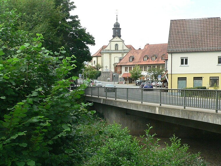
Photo: Geyersberg, CC BY-SA 3.0.
Mömbris is a municipality – since 31 January 1964 a market municipality – in the Aschaffenburg district in the Regierungsbezirk of Lower Franconia in Bavaria, Germany. With over 11,000 inhabitants, Mömbris is the district's fifth largest municipality.
Krombach
Village

Photo: Freak-Line-Community, CC BY-SA 3.0.
Krombach is a municipality in the Aschaffenburg district in the Regierungsbezirk of Lower Franconia in Bavaria, Germany and a member of the Verwaltungsgemeinschaft of Schöllkrippen.

Dickbusch
- Type: Forest
- Location: Blankenbach, Aschaffenburg, Lower Franconia, Franconia, Bavaria, Germany, Central Europe, Europe
- View on OpenStreetMap
Latitude
50.0591° or 50° 3′ 33″ northLongitude
9.2348° or 9° 14′ 5″ eastOpen location code
9F2F365M+JWOpenStreetMap ID
way 75411981OpenStreetMap feature
landuse=forest
This page is based on OpenStreetMap, Wikidata, and Wikimedia Commons.
We’d love your help improving our open data sources. Thank you for contributing.
Satellite Map
Discover Dickbusch from above in high-definition satellite imagery.
Places with the Same Name
Discover other places named “Dickbusch”.
Localities in the Area
Explore places such as Blankenbach and Erlenbach.
Notable Places Nearby
Highlights include Waldfriedhof Blankenbach and St. Kilian und St. Bonifatius.
Lower Franconia: Must-Visit Destinations
Delve into Würzburg, Aschaffenburg, Schweinfurt, and Bad Kissingen.
Curious Forests to Discover
Uncover intriguing forests from every corner of the globe.
About Mapcarta. Data © OpenStreetMap contributors and available under the Open Database License". Text is available under the CC BY-SA 4.0 license, except for photos, directions, and the map. Photo: Benreis, CC BY 3.0.