Ancienne église Saint-Michel d’Ingouville
Ancienne église Saint-Michel d’Ingouville is a church in Le Havre, Seine-Maritime, Normandy. Ancienne église Saint-Michel d’Ingouville is situated nearby to the railway station Lycée Claude Monet, as well as near Place Thiers.| Tap on a place to explore it |
Places of Interest Nearby
Highlights include Église Saint-Michel and Espace Coty.
Église Saint-Michel
Church

Photo: MOs810, CC BY-SA 4.0.
Église Saint-Michel is a church, which is situated 240 metres south of Ancienne église Saint-Michel d’Ingouville.
Espace Coty
Shopping center

Photo: Heuliez14, CC BY-SA 3.0.
Espace Coty is a shopping center, which is situated 450 metres southeast of Ancienne église Saint-Michel d’Ingouville.
Le Havre, the City Rebuilt by Auguste Perret
Protected area
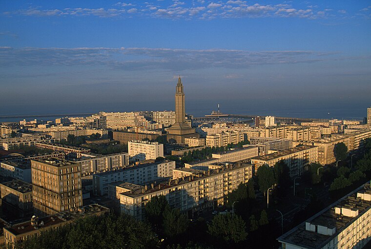
Photo: Olivier2000, CC BY 1.0.
Le Havre, the City Rebuilt by Auguste Perret is a protected area, which is situated 1 km south of Ancienne église Saint-Michel d’Ingouville.
Places in the Area
Nearby places include Montivilliers.
Montivilliers
Town

Photo: Wikimedia, CC BY-SA 3.0.
Montivilliers is a commune in the Seine-Maritime department in the Normandy region in northern France. Montivilliers is situated 8 km northeast of Ancienne église Saint-Michel d’Ingouville.
Ancienne église Saint-Michel d’Ingouville
- Type: Church
- Denomination: Catholic
- Categories: building, place of worship, and religion
- Location: Le Havre, Arrondissement of Le Havre, Seine-Maritime, Normandy, France, Europe
- View on OpenStreetMap
Latitude
49.49908° or 49° 29′ 57″ northLongitude
0.108° or 0° 6′ 29″ eastOperator
FSSPOpen location code
8FX2F4X5+J5OpenStreetMap ID
way 76077051OpenStreetMap feature
amenity=place_of_worshipOpenStreetMap feature
building=churchOpenStreetMap attribute
denomination=catholic
This page is based on OpenStreetMap, Wikidata, and Wikimedia Commons.
We’d love your help improving our open data sources. Thank you for contributing.
Satellite Map
Discover Ancienne église Saint-Michel d’Ingouville from above in high-definition satellite imagery.
Notable Places Nearby
Highlights include Lycée Claude Monet and Place Thiers.
Nearby Places
Explore places such as Abbé Cochet and Ingouville.
Normandy: Must-Visit Destinations
Delve into Orne, Rouen, Seine-Maritime, and Caen.
Curious Churches to Discover
Uncover intriguing churches from every corner of the globe.
About Mapcarta. Data © OpenStreetMap contributors and available under the Open Database License". Text is available under the CC BY-SA 4.0 license, except for photos, directions, and the map. Photo: Palamède, CC BY-SA 3.0.