Fromagerie Les Chaumes
Fromagerie Les Chaumes is in Saint-Antoine-de-Breuilh, Arrondissement of Bergerac, Nouvelle-Aquitaine. Fromagerie Les Chaumes is situated nearby to L’Éperon Laurentais, as well as near the aerodrome Sainte-Foy La Grande Airfield.| Tap on a place to explore it |
Places of Interest Nearby
Highlights include Saint-Antoine-de-Breuilh station and Sainte-Foy La Grande Airfield.
Saint-Antoine-de-Breuilh station
Railway station

Photo: Père Igor, CC BY-SA 4.0.
Saint-Antoine-de-Breuilh is a railway station in Saint-Antoine-de-Breuilh, Nouvelle-Aquitaine, France. The station is located on the Libourne - Le Buisson railway line. The station is served by TER services operated by SNCF. Saint-Antoine-de-Breuilh station is situated 2 km northwest of Fromagerie Les Chaumes.
Sainte-Foy La Grande Airfield
Aerodrome

Photo: Polymagou, CC BY-SA 4.0.
Sainte-Foy La Grande Airfield is an aerodrome.
Temple de l’église protestante unie de France d’Eynesse
Church

Photo: Jack ma, CC BY-SA 3.0.
Temple de l’église protestante unie de France d’Eynesse is a church, which is situated 1½ km southwest of Fromagerie Les Chaumes.
Places in the Area
Nearby places include Nastringues and Vélines.
Nastringues
Village

Photo: Pays du Grand Bergeracois, CC BY-SA 3.0.
Nastringues is a commune in the Dordogne department in Nouvelle-Aquitaine in southwestern France. Nastringues is situated 5 km north of Fromagerie Les Chaumes.
Vélines
Village
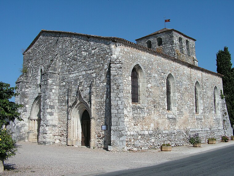
Photo: Pays du Grand Bergeracois, CC BY-SA 3.0.
Vélines is a commune in the Dordogne department in Nouvelle-Aquitaine in southwestern France. Vélines station has rail connections to Bordeaux, Bergerac and Sarlat-la-Canéda. Vélines is situated 6 km northwest of Fromagerie Les Chaumes.
Pessac-sur-Dordogne
Village

Photo: Henrysalome, CC BY-SA 4.0.
Pessac-sur-Dordogne is a commune in the Gironde department in Nouvelle-Aquitaine in southwestern France. Pessac-sur-Dordogne is situated 7 km west of Fromagerie Les Chaumes.
Fromagerie Les Chaumes
Latitude
44.8345° or 44° 50′ 4″ northLongitude
0.17045° or 0° 10′ 14″ eastOpen location code
8FP2R5MC+Q5OpenStreetMap ID
way 763961851OpenStreetMap feature
landuse=industrial
This page is based on OpenStreetMap, Wikidata, and Wikimedia Commons.
We’d love your help improving our open data sources. Thank you for contributing.
Satellite Map
Discover Fromagerie Les Chaumes from above in high-definition satellite imagery.
Notable Places Nearby
Highlights include L’Éperon Laurentais and Aire Camping-Car Saint-Antoine-de-Breuilh.
Nearby Places
Explore places such as Boutique Des Chaumes and L’Escapade.
Dordogne: Must-Visit Destinations
Delve into Périgueux, Sarlat-la-Canéda, Bergerac, and Rocamadour.
Curious Places to Discover
Uncover intriguing places from every corner of the globe.
About Mapcarta. Data © OpenStreetMap contributors and available under the Open Database License". Text is available under the CC BY-SA 4.0 license, except for photos, directions, and the map. Photo: Sémhur, CC BY-SA 3.0.