Ruiny basenów kapielowych
Ruiny basenów kapielowych is in Lubań, Lower Silesian Voivodeship. Ruiny basenów kapielowych is situated nearby to the cemetery Cmentarz żołnierzy polskich i radzieckich poległych podczas walk o Lubań w 1945 r., as well as near the park Kamienna Góra.| Tap on a place to explore it |
Places of Interest Nearby
Highlights include Lubań Śląski railway station and Virgin Mary Lutheran Church in Lubań.
Lubań Śląski railway station
Railway station
 Lubań Śląski is a railway station in the town of Lubań, within the Lower Silesian Voivodeship, in south-western Poland. Lubań Śląski railway station is situated 1 km east of Ruiny basenów kapielowych.
Virgin Mary Lutheran Church in Lubań
Church

Photo: Czajkaczechowa, CC BY-SA 3.0 pl.
Virgin Mary Lutheran Church in Lubań is situated 1 km northeast of Ruiny basenów kapielowych.
Lubań town hall
Town hall
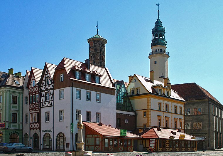
Photo: Hydrus, Public domain.
Lubań town hall is situated 1½ km northeast of Ruiny basenów kapielowych.
Places in the Area
Nearby places include Kościelnik and Jałowiec.
Kościelnik
Village

Photo: Czajkaczechowa, CC BY-SA 3.0 pl.
Kościelnik is a village in the administrative district of Gmina Lubań, within Lubań County, Lower Silesian Voivodeship, in south-western Poland. Kościelnik is situated 2½ km southeast of Ruiny basenów kapielowych.
Jałowiec
Village

Photo: SchiDD, CC BY-SA 3.0.
Jałowiec is a village in the administrative district of Gmina Lubań, within Lubań County, Lower Silesian Voivodeship, in south-western Poland. The National Heritage Board of Poland has put the Protestant church of 1799 and the palace and park of Jałowiec on its monument list. Jałowiec is situated 3 km southeast of Ruiny basenów kapielowych.
Zaręba
Village

Photo: Rosa77, CC BY-SA 3.0 pl.
Zaręba is a village in the administrative district of Gmina Siekierczyn, within Lubań County, Lower Silesian Voivodeship, in south-western Poland. Zaręba is situated 3 km west of Ruiny basenów kapielowych.
Ruiny basenów kapielowych
- Type: Tourist attraction
- Also known as: “Bergbad – Lauban”
- Category: tourism
- Location: Lubań, Lubań County, Lower Silesian Voivodeship, Poland, Central Europe, Europe
- View on OpenStreetMap
Latitude
51.10903° or 51° 6′ 33″ northLongitude
15.28022° or 15° 16′ 49″ eastOpen location code
9F3Q475J+J3OpenStreetMap ID
way 766108819OpenStreetMap feature
tourism=attraction
This page is based on OpenStreetMap, Wikidata, and Wikimedia Commons.
We’d love your help improving our open data sources. Thank you for contributing.
Satellite Map
Discover Ruiny basenów kapielowych from above in high-definition satellite imagery.
Notable Places Nearby
Highlights include Cmentarz żołnierzy polskich i radzieckich poległych podczas walk o Lubań w 1945 r. and Kamienna Góra.
Nearby Places
Explore places such as Historia Lubania i Zjednoczenia Niemiec and Podziemia Kamiennej Góry.
Lower Silesian Voivodeship: Must-Visit Destinations
Delve into Wrocław, Legnica, Wałbrzych, and Głogów.
Curious Places to Discover
Uncover intriguing places from every corner of the globe.
About Mapcarta. Data © OpenStreetMap contributors and available under the Open Database License". Text is available under the CC BY-SA 4.0 license, except for photos, directions, and the map. Photo: Sicherlich, CC BY 3.0.