Dr. med. Katja Seele
Dr. med. Katja Seele is a doctor’s office in Großenkneten, Oldenburg, Lower Saxony which is located on Bahnhofstraße. Dr. med. Katja Seele is situated nearby to the community center Kösters Hus (Haus der Vereine) Huntlosen, as well as near the library Gemeindebücherei Großenkneten.| Tap on a place to explore it |
Places of Interest Nearby
Highlights include St. Briccius and Huntlosen railway station.
St. Briccius
Church

Photo: Wikimedia, Public domain.
St. Briccius is a church, which is situated 100 metres southwest of Dr. med. Katja Seele.
Huntlosen railway station
Railway station

Photo: WilfriedC, CC BY-SA 3.0.
Huntlosen railway station is situated 1¼ km west of Dr. med. Katja Seele.

Places in the Area
Nearby places include Sandhatten and Osenberge.
Sandhatten
Village
 Sandhatten is a village, which is situated 3 km northeast of Dr. med. Katja Seele.
Osenberge
Locality
The Osenberge is a dune region up to 23 m above sea level high in the district of Oldenburg, Lower Saxony. Osenberge is situated 4 km north of Dr. med. Katja Seele.
Kirchhatten
Village

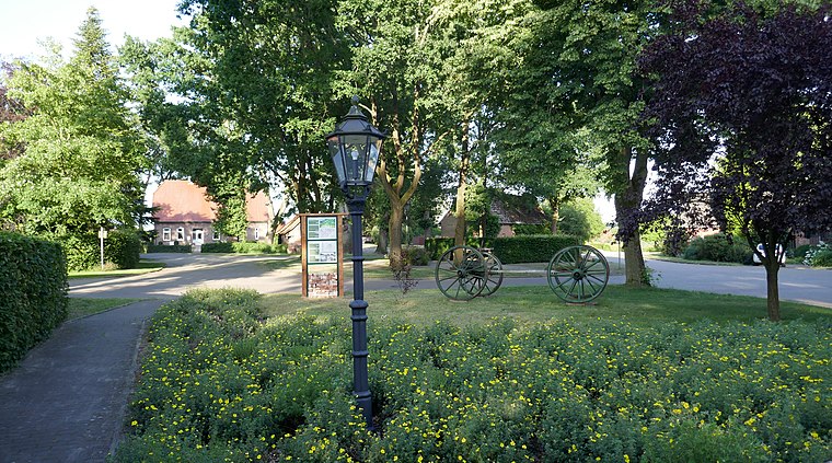
Photo: Jacek79, CC BY-SA 3.0.
Kirchhatten is a village, which is situated 6 km northeast of Dr. med. Katja Seele.
Dr. med. Katja Seele
- Type: Doctor’s office
- Address: Bahnhofstraße 80, Huntlosen, Großenkneten, 26197
- Categories: health care and building
- Location: Großenkneten, Oldenburg, Lower Saxony, Germany, Central Europe, Europe
- View on OpenStreetMap
Latitude
52.99105° or 52° 59′ 28″ northLongitude
8.2841° or 8° 17′ 3″ eastOpen location code
9F4CX7RM+CJOpenStreetMap ID
way 766296187OpenStreetMap feature
amenity=doctorsOpenStreetMap feature
building=yesOpenStreetMap feature
healthcare=doctor
This page is based on OpenStreetMap, Wikidata, and Wikimedia Commons.
We’d love your help improving our open data sources. Thank you for contributing.
Satellite Map
Discover Dr. med. Katja Seele from above in high-definition satellite imagery.
Notable Places Nearby
Highlights include Gemeindebücherei Großenkneten and Kösters Hus (Haus der Vereine) Huntlosen.
Nearby Places
Explore places such as Dr. med. dent. Christine Hutschenreuter and Grundschule Huntlosen.
Lower Saxony: Must-Visit Destinations
Delve into Hanover, Göttingen, Brunswick, and Wolfsburg.
Curious Doctor’s Offices to Discover
Uncover intriguing doctor’s offices from every corner of the globe.
About Mapcarta. Data © OpenStreetMap contributors and available under the Open Database License". Text is available under the CC BY-SA 4.0 license, except for photos, directions, and the map. Photo: Danapit, CC BY-SA 3.0.