Liberty University Transit
Liberty University Transit is a building in Lynchburg, Central Virginia, Virginia which is located on Mayflower Drive. Liberty University Transit is situated nearby to the government office Lynchburg Department Of Emergency Services, as well as near the convention center Liberty Mountain Conference Center.| Tap on a place to explore it |
Places of Interest Nearby
Highlights include River Ridge Mall and Thomas Road Baptist Church.
River Ridge Mall
Shopping center
River Ridge Mall is an enclosed shopping mall in Lynchburg, Virginia. Opened in 1980, the mall features JCPenney, Belk, Dick's Sporting Goods, TJ Maxx, and Regal Cinemas as its primary anchors, with HomeGoods, and Planet Fitness serving as secondary anchors. River Ridge Mall is situated 2,400 feet west of Liberty University Transit.
Thomas Road Baptist Church
Church

Photo: Billy Hathorn, CC BY-SA 3.0.
Thomas Road Baptist Church is a Baptist megachurch in Lynchburg, Virginia, located on the campus of Liberty University, which it founded and is closely affiliated with. Thomas Road Baptist Church is situated 2,300 feet south of Liberty University Transit.
Williams Stadium
Stadium

Photo: Smartyllama, CC BY-SA 4.0.
Arthur L. Williams Stadium is a 25,000-seat football stadium located on the campus of Liberty University in Lynchburg, Virginia, US. The stadium was built in 1989 and plays host to Liberty Flames football, which is a part of the NCAA Division I - Football Bowl Subdivision. Williams Stadium is situated 1 mile south of Liberty University Transit.
Places in the Area
Nearby places include Kemper Street Industrial Historic District and Diamond Hill Historic District.
Kemper Street Industrial Historic District
Neighborhood
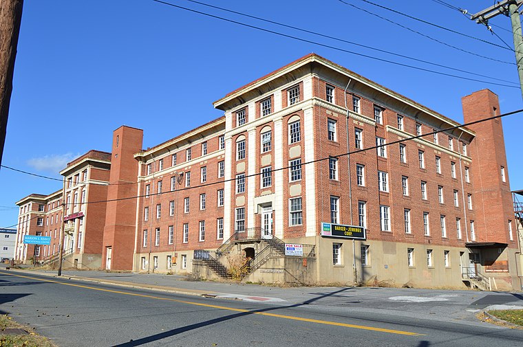
Photo: Nyttend, Public domain.
The Kemper Street Industrial Historic District encompasses a collection of industrial sites on Campbell Avenue and Kemper Street in Lynchburg, Virginia. Kemper Street Industrial Historic District is situated 2½ miles north of Liberty University Transit.
Diamond Hill Historic District
Neighborhood

Photo: Pubdog, Public domain.
The Diamond Hill Historic District is a national historic district located in Lynchburg, Virginia. The district is irregularly shaped and approximately 14 blocks in area. Diamond Hill Historic District is situated 3½ miles northeast of Liberty University Transit.
Timberlake
Town
Timberlake is a census-designated place in Campbell County, Virginia, United States. The population was 13,267 at the 2020 census. It is part of the Lynchburg Metropolitan Statistical Area. Timberlake is situated 5 miles southwest of Liberty University Transit.
Liberty University Transit
- Type: Building
- Address: 4510 Mayflower Drive, Lynchburg, VA 24501
- Location: Lynchburg, Central Virginia, Virginia, South, United States, North America
- View on OpenStreetMap
Latitude
37.36644° or 37° 21′ 59″ northLongitude
-79.17006° or 79° 10′ 12″ westOpen location code
87929R8H+HXOpenStreetMap ID
way 766367903OpenStreetMap feature
building=yes
This page is based on OpenStreetMap, Wikidata, and Wikimedia Commons.
We’d love your help improving our open data sources. Thank you for contributing.
Satellite Map
Discover Liberty University Transit from above in high-definition satellite imagery.
Notable Places Nearby
Highlights include Lynchburg Department Of Emergency Services and Liberty Mountain Conference Center.
Nearby Places
Explore places such as Liberty University Facilities Management and Liberty University Mayflower Maintenance Facility.
Central Virginia: Must-Visit Destinations
Delve into Richmond, Charlottesville, Petersburg, and Danville.
Curious Buildings to Discover
Uncover intriguing buildings from every corner of the globe.
About Mapcarta. Data © OpenStreetMap contributors and available under the Open Database License". Text is available under the CC BY-SA 4.0 license, except for photos, directions, and the map. Photo: Wikimedia, CC0.