Hirzel Canning Company & Farms
Hirzel Canning Company & Farms is an industrial building in City of Northwood, Ohio. Hirzel Canning Company & Farms is situated nearby to the village Northwood, as well as near the sports venue Penny’s Eastern Freeway Lanes.| Tap on a place to explore it |
Places in the Area
Nearby places include Northwood and Oregon.
Northwood
Village

Photo: Nyttend, Public domain.
Northwood is a city and eastern suburb in Wood County, Ohio, United States, within the Toledo metropolitan area. The population was 5,160 at the 2020 census.
Oregon
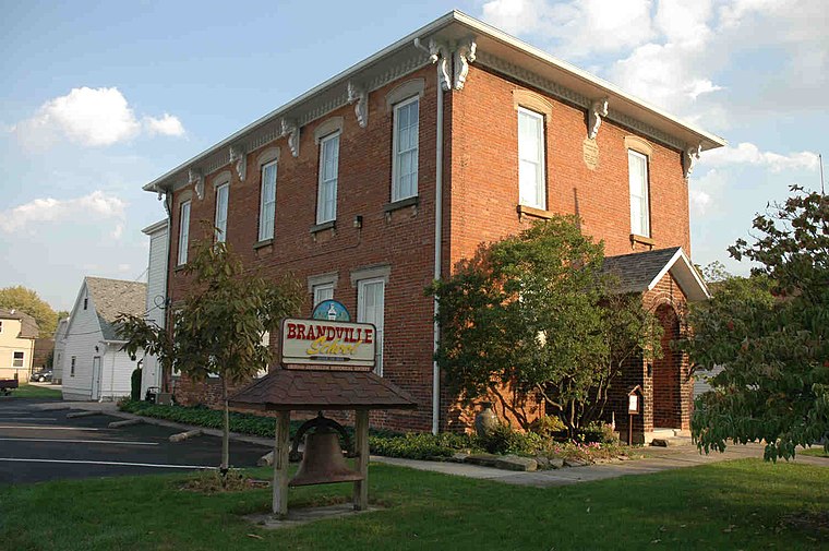
Photo: Maherite1977, CC BY-SA 3.0.
Oregon is a city in Lucas County, Ohio, United States. Located on Lake Erie, it is a suburb of Toledo lying east of the city and is home to Maumee Bay State Park. The population was 19,950 at the 2020 census.
Millbury
Village

Photo: Nyttend, Public domain.
Millbury is a village in Wood County, Ohio, United States. The population was 1,193 at the 2020 census. Millbury is situated 4 miles southeast of Hirzel Canning Company & Farms.
Hirzel Canning Company & Farms
- Type: Industrial building
- Categories: building and industry
- Location: City of Northwood, Wood, Ohio, Midwest, United States, North America
- View on OpenStreetMap
Latitude
41.61056° or 41° 36′ 38″ northLongitude
-83.4727° or 83° 28′ 22″ westOpen location code
86HRJG6G+6WOpenStreetMap ID
way 781029087OpenStreetMap feature
building=industrial
This page is based on OpenStreetMap, Wikidata, and Wikimedia Commons.
We’d love your help improving our open data sources. Thank you for contributing.
Satellite Map
Discover Hirzel Canning Company & Farms from above in high-definition satellite imagery.
Notable Places Nearby
Highlights include Penny’s Eastern Freeway Lanes and Northwood Fire Department - Station 2.
Nearby Places
Explore places such as Bob Evans and BP.
Ohio: Must-Visit Destinations
Delve into Columbus, Cincinnati, Cleveland, and Bowling Green.
Curious Industrial Buildings to Discover
Uncover intriguing industrial buildings from every corner of the globe.
About Mapcarta. Data © OpenStreetMap contributors and available under the Open Database License". Text is available under the CC BY-SA 4.0 license, except for photos, directions, and the map. Photo: Wikimedia, CC0.