Sächsische Schlossfabrik
Sächsische Schlossfabrik is an industrial building in Groitzsch, Leipzig, Saxony which is located on Am Pappelhain. Sächsische Schlossfabrik is situated nearby to the peak Steinberg, as well as near the fire station Freiwillige Feuerwehr Groitzsch.| Tap on a place to explore it |
- Email: info@ssf.de
- Type: Industrial building
- Address: Am Pappelhain 10, Groitzsch, 04539
Places of Interest Nearby
Highlights include Kgl.-sächs. Postmeilenstein Groitzsch Gedenkstein and Kgl.-sächs. Postmeilenstein Groitzsch Halbmeilenstein.
Kgl.-sächs. Postmeilenstein Groitzsch Gedenkstein
Historic site

Photo: Radler59, CC BY-SA 3.0.
Kgl.-sächs. Postmeilenstein Groitzsch Gedenkstein is a historic site, which is situated 1½ km north of Sächsische Schlossfabrik.
Kgl.-sächs. Postmeilenstein Groitzsch Halbmeilenstein
Historic site
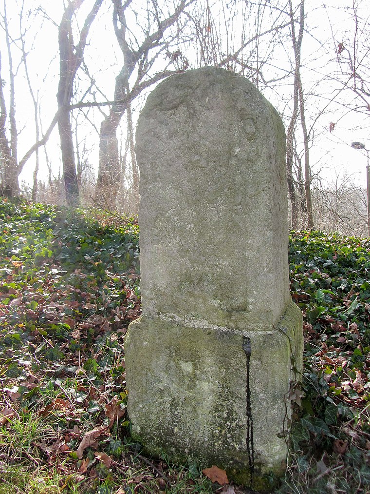
Photo: Radler59, CC BY-SA 3.0.
Kgl.-sächs. Postmeilenstein Groitzsch Halbmeilenstein is a historic site, which is situated 1½ km north of Sächsische Schlossfabrik.
Kgl.-sächs. Postmeilenstein Groitzsch Grenzübergangsstein
Historic site
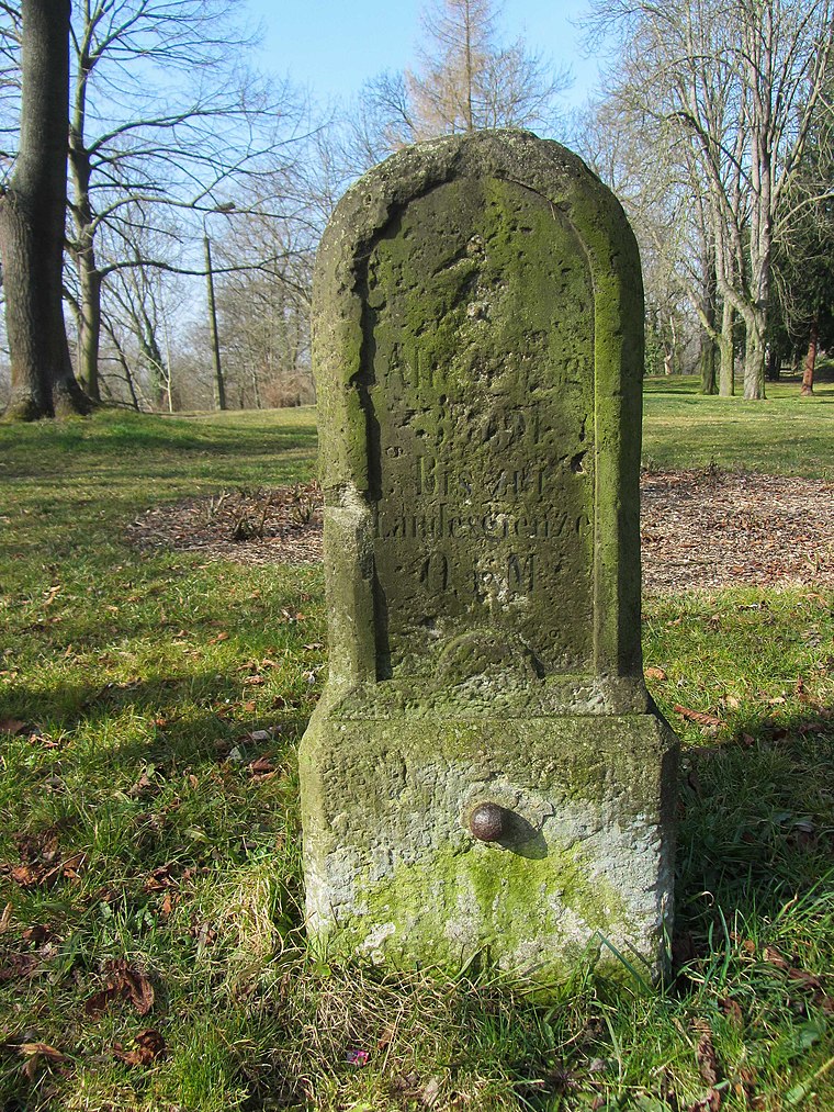
Photo: Radler59, CC BY-SA 3.0.
Kgl.-sächs. Postmeilenstein Groitzsch Grenzübergangsstein is a historic site, which is situated 1½ km north of Sächsische Schlossfabrik.
Places in the Area
Nearby places include Altengroitzsch and Nöthnitz.


Pegau
Town

Photo: Wikimedia, CC BY-SA 4.0.
Pegau is a town in the Leipzig district in Saxony, Germany, situated in a fertile plain, on the White Elster, 18 m. S.W. from Leipzig by the railway to Zeitz. Pegau is situated 3 km northwest of Sächsische Schlossfabrik.
Sächsische Schlossfabrik
- Categories: building and industry
- Location: Groitzsch, Leipzig, Saxony, Germany, Central Europe, Europe
- View on OpenStreetMap
Latitude
51.14597° or 51° 8′ 46″ northLongitude
12.28277° or 12° 16′ 58″ eastOperator
Sächsische Schlossfabrik GmbHOpen location code
9F3J47WM+94OpenStreetMap ID
way 798927828OpenStreetMap feature
building=industrial
This page is based on OpenStreetMap, Wikidata, and Wikimedia Commons.
We’d love your help improving our open data sources. Thank you for contributing.
Satellite Map
Discover Sächsische Schlossfabrik from above in high-definition satellite imagery.
Notable Places Nearby
Highlights include Steinberg and Freiwillige Feuerwehr Groitzsch.
Nearby Places
Explore places such as Autoverwertung Großkopf and Gartenanlage ‘Neues Leben’.
Saxony: Must-Visit Destinations
Delve into Dresden, Leipzig, Chemnitz, and Meißen.
Curious Industrial Buildings to Discover
Uncover intriguing industrial buildings from every corner of the globe.
About Mapcarta. Data © OpenStreetMap contributors and available under the Open Database License". Text is available under the CC BY-SA 4.0 license, except for photos, directions, and the map. Photo: Taxiarchos228, FAL.