Rettungswache Saarlouis 3/1
Rettungswache Saarlouis 3/1 is an ambulance station in Saarlouis, Saarland. Rettungswache Saarlouis 3/1 is situated nearby to the fire station Feuerwache West, as well as near the church St. Marien.| Tap on a place to explore it |
Places of Interest Nearby
Highlights include Taffingstal and Saints Peter and Paul.

Saints Peter and Paul
Church

Photo: LoKiLeCh, CC BY-SA 3.0.
Saints Peter and Paul is a church, which is situated 1½ km north of Rettungswache Saarlouis 3/1.
Evangelical Church
Church
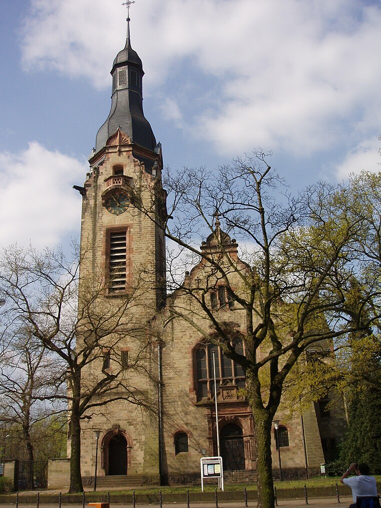
Photo: Xocolatl, Public domain.
Evangelical Church is situated 2 km northeast of Rettungswache Saarlouis 3/1.
Places in the Area
Nearby places include Beaumarais and Neuforweiler.


Wallerfangen
Village

Photo: Kolling, CC BY-SA 3.0.
Wallerfangen is a municipality of Saarlouis district, Saarland, Germany. Located west of Saarlouis and along the French border, it is the seat of the villages of Ittersdorf, Ihn, Leidingen, St. Wallerfangen is situated 3 km north of Rettungswache Saarlouis 3/1.
Rettungswache Saarlouis 3/1
- Type: Ambulance station
- Category: health care
- Location: Saarlouis, Saarlouis, Saarland, Germany, Central Europe, Europe
- View on OpenStreetMap
Latitude
49.30334° or 49° 18′ 12″ northLongitude
6.72502° or 6° 43′ 30″ eastOperator
DRK-Kreisverband Saarlouis e.V.Open location code
8FX88P3G+82OpenStreetMap ID
way 809823104
This page is based on OpenStreetMap, Wikidata, and Wikimedia Commons.
We’d love your help improving our open data sources. Thank you for contributing.
Satellite Map
Discover Rettungswache Saarlouis 3/1 from above in high-definition satellite imagery.
Notable Places Nearby
Highlights include Feuerwache West and St. Marien.
Nearby Places
Explore places such as DRK Bereitschaft Beaumarais and Picard Auf der Dellt.
Saarland: Must-Visit Destinations
Delve into Saarbrücken, Homburg, Merzig, and Neunkirchen.
Curious Ambulance Stations to Discover
Uncover intriguing ambulance stations from every corner of the globe.
About Mapcarta. Data © OpenStreetMap contributors and available under the Open Database License". Text is available under the CC BY-SA 4.0 license, except for photos, directions, and the map. Photo: wolfgangstaudt, CC BY 2.0.