Houat
Houat is an apartment building in Rennes, Ille-et-Vilaine, Brittany. Houat is situated nearby to the grassland Le Jardin de la Joie, as well as near the library salle de consultation périodique.| Tap on a place to explore it |
Places of Interest Nearby
Highlights include Villejean-Université and Robert-Poirier Stadium.
Villejean-Université
Railway stop

Photo: Electzik, CC BY-SA 3.0.
Villejean-Université is a railway stop, which is situated 260 metres southwest of Houat.
Robert-Poirier Stadium
Sports venue

Photo: Camilleh9, CC BY-SA 4.0.
The Robert Poirier Stadium, or Villejean Athletics Stadium, is an indoor athletics stadium, inaugurated on 5 July 2015 on the Villejean Campus at the University of Rennes. Robert-Poirier Stadium is situated 450 metres south of Houat.
Le Tambour
University building
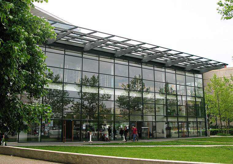
Photo: XIIIfromTOKYO, CC BY-SA 3.0.
Le Tambour is an university building, which is situated 290 metres southwest of Houat.
Places in the Area
Nearby places include Saint-Jacques-de-la-Lande and Pacé.
Saint-Jacques-de-la-Lande
Town

Photo: Pymouss, CC BY-SA 4.0.
Saint-Jacques-de-la-Lande is a commune of Rennes Métropole in the Ille-et-Vilaine department of Brittany in northwestern France. Saint-Jacques-de-la-Lande is situated 4½ km south of Houat.
Pacé
Town

Photo: Pymouss44, CC BY-SA 3.0.
Pacé is a commune in the Ille-et-Vilaine department of Brittany in northwestern France. Pacé is situated 6 km northwest of Houat.
Cesson-Sévigné
Town

Photo: Pymouss44, CC BY-SA 3.0.
Cesson-Sévigné is a commune in the Ille-et-Vilaine department in Brittany in northwestern France. It is a suburb directly to the east of Rennes, bordered on its west side by the University of Rennes and the Technopole Atalante. Cesson-Sévigné is situated 7 km east of Houat.
Houat
- Type: Apartment building
- Roof shape: flat
- Categories: building and residential building
- Location: Rennes, Arrondissement of Rennes, Ille-et-Vilaine, Brittany, France, Europe
- View on OpenStreetMap
Latitude
48.12227° or 48° 7′ 20″ northLongitude
-1.70081° or 1° 42′ 3″ westLevels
5Open location code
8CWW47CX+WMOpenStreetMap ID
way 81216459OpenStreetMap feature
building=apartmentsOpenStreetMap attribute
roof-shape=flat
This page is based on OpenStreetMap, Wikidata, and Wikimedia Commons.
We’d love your help improving our open data sources. Thank you for contributing.
Satellite Map
Discover Houat from above in high-definition satellite imagery.
In Other Languages
“Houat” goes by many names.
- Breton: “Houad”
Places with the Same Name
Discover other places named “Houat”.
Notable Places Nearby
Highlights include Le Jardin de la Joie and Centre de formation aux carrières des bibliothèques Bretagne - Pays de la Loire.
Nearby Places
Explore places such as Hoedic and Restaurant universitaire Le Métronome.
Brittany: Must-Visit Destinations
Delve into Brest, Finistère, Morbihan, and Ille-et-Vilaine.
Curious Apartment Buildings to Discover
Uncover intriguing apartment buildings from every corner of the globe.
About Mapcarta. Data © OpenStreetMap contributors and available under the Open Database License". Text is available under the CC BY-SA 4.0 license, except for photos, directions, and the map. Photo: Inkey, CC BY-SA 3.0.