Glenans/Beniguet
Glenans/Beniguet is an apartment building in Rennes, Ille-et-Vilaine, Brittany. Glenans/Beniguet is situated nearby to the bus station Villejean - Université, as well as near the library salle de consultation périodique.| Tap on a place to explore it |
Places of Interest Nearby
Highlights include Villejean-Université and Le Tambour.
Villejean-Université
Railway stop

Photo: Electzik, CC BY-SA 3.0.
Villejean-Université is a railway stop, which is situated 120 metres southwest of Glenans/Beniguet.
Le Tambour
University building
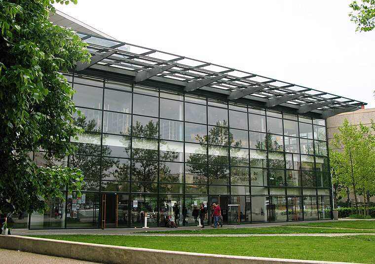
Photo: XIIIfromTOKYO, CC BY-SA 3.0.
Le Tambour is an university building, which is situated 150 metres southwest of Glenans/Beniguet.
Robert-Poirier Stadium
Sports venue

Photo: Camilleh9, CC BY-SA 4.0.
The Robert Poirier Stadium, or Villejean Athletics Stadium, is an indoor athletics stadium, inaugurated on 5 July 2015 on the Villejean Campus at the University of Rennes. Robert-Poirier Stadium is situated 410 metres south of Glenans/Beniguet.
Places in the Area
Nearby places include Saint-Jacques-de-la-Lande and Pacé.
Saint-Jacques-de-la-Lande
Town

Photo: Pymouss, CC BY-SA 4.0.
Saint-Jacques-de-la-Lande is a commune of Rennes Métropole in the Ille-et-Vilaine department of Brittany in northwestern France. Saint-Jacques-de-la-Lande is situated 4½ km south of Glenans/Beniguet.
Pacé
Town

Photo: Pymouss44, CC BY-SA 3.0.
Pacé is a commune in the Ille-et-Vilaine department of Brittany in northwestern France. Pacé is situated 6 km northwest of Glenans/Beniguet.
Le Rheu
Village

Photo: Pymouss, CC BY-SA 4.0.
Le Rheu is a commune in the Ille-et-Vilaine department in Brittany in northwestern France. Le Rheu is situated 7 km west of Glenans/Beniguet.
Glenans/Beniguet
- Type: Apartment building
- Roof shape: flat
- Categories: building and residential building
- Location: Rennes, Arrondissement of Rennes, Ille-et-Vilaine, Brittany, France, Europe
- View on OpenStreetMap
Latitude
48.12178° or 48° 7′ 18″ northLongitude
-1.70258° or 1° 42′ 9″ westLevels
8Open location code
8CWW47CW+PXOpenStreetMap ID
way 81216515OpenStreetMap feature
building=apartmentsOpenStreetMap attribute
roof-shape=flat
This page is based on OpenStreetMap, Wikidata, and Wikimedia Commons.
We’d love your help improving our open data sources. Thank you for contributing.
Satellite Map
Discover Glenans/Beniguet from above in high-definition satellite imagery.
In Other Languages
“Glenans/Beniguet” goes by many names.
- Breton: “Inizi Glenan/Benniged”
Notable Places Nearby
Highlights include Villejean - Université and salle de consultation périodique.
Nearby Places
Explore places such as Bréhat and Villejean - Université.
Brittany: Must-Visit Destinations
Delve into Brest, Finistère, Morbihan, and Ille-et-Vilaine.
Curious Apartment Buildings to Discover
Uncover intriguing apartment buildings from every corner of the globe.
About Mapcarta. Data © OpenStreetMap contributors and available under the Open Database License". Text is available under the CC BY-SA 4.0 license, except for photos, directions, and the map. Photo: Inkey, CC BY-SA 3.0.