Stauton Bridge Community Center
Stauton Bridge Community Center is a community center in Greenville County, South Carolina which is located on Staunton Bridge Road. Stauton Bridge Community Center is situated nearby to Bethlehem United Methodist Church, as well as near Welcome Baptist Church Cemetery.| Tap on a place to explore it |
Places in the Area
Nearby places include West End and Woodside Cotton Mill Village Historic District.
West End
Neighborhood

Photo: Wikimedia, Public domain.
West End is a neighborhood in Greenville, South Carolina. Located across the Reedy River in downtown, the west end became home to Furman University when it was first established in 1852. West End is situated 3 miles northeast of Stauton Bridge Community Center.
Woodside Cotton Mill Village Historic District
Neighborhood
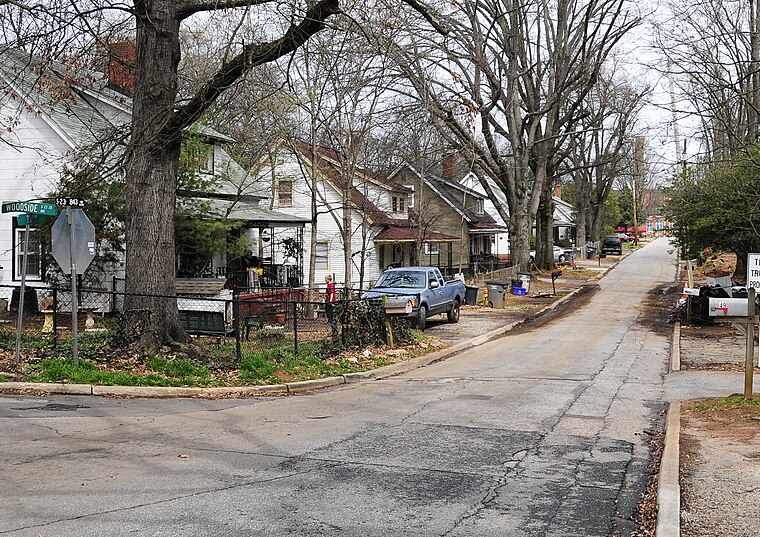
Photo: Bigskybill, CC BY-SA 3.0.
Woodside Cotton Mill Village Historic District is a national historic district located in Greenville County, South Carolina. The district encompasses 278 contributing buildings and 2 contributing sites in an early 20th century urban South Carolina textile mill village. Woodside Cotton Mill Village Historic District is situated 3½ miles north of Stauton Bridge Community Center.
Greenville

Photo: Carolinaliving, CC BY-SA 3.0.
Greenville has been described as Athens, Georgia for adults. It is the county seat and largest city of Greenville County, South Carolina, United States.
Stauton Bridge Community Center
- Type: Community center
- Address: 165 Staunton Bridge Road, Greenville, SC 29611
- Category: building
- Location: Greenville County, South Carolina, South, United States, North America
- View on OpenStreetMap
Latitude
34.805° or 34° 48′ 18″ northLongitude
-82.44266° or 82° 26′ 34″ westOperator
Greenville RecOpen location code
866VRH34+XWOpenStreetMap ID
way 812691015OpenStreetMap feature
amenity=community_centreOpenStreetMap feature
building=yes
This page is based on OpenStreetMap, Wikidata, and Wikimedia Commons.
We’d love your help improving our open data sources. Thank you for contributing.
Satellite Map
Discover Stauton Bridge Community Center from above in high-definition satellite imagery.
Notable Places Nearby
Highlights include Bethlehem United Methodist Church Cemetery and Bethlehem United Methodist Church.
Nearby Places
Explore places such as Staunton Bridge Rd @ Misty Creek Ln and Staunton Bridge Rd @ Carolina Commons.
South Carolina: Must-Visit Destinations
Delve into Columbia, Charleston, Greenville, and Myrtle Beach.
Curious Community Centers to Discover
Uncover intriguing community centers from every corner of the globe.
About Mapcarta. Data © OpenStreetMap contributors and available under the Open Database License". Text is available under the CC BY-SA 4.0 license, except for photos, directions, and the map. Photo: Rastapopulous, CC BY-SA 3.0.