Fahrsicherheitstraining-Gelände
Fahrsicherheitstraining-Gelände is in Nessetal, Gotha, Thuringia. Fahrsicherheitstraining-Gelände is situated nearby to the aerodrome Eisenach-Kindel Airport, as well as near the pitch Fallschirmsport Dädalus.| Tap on a place to explore it |
Places of Interest Nearby
Highlights include Eisenach-Kindel Airport and St. Laurentius (Wolfsbehringen).
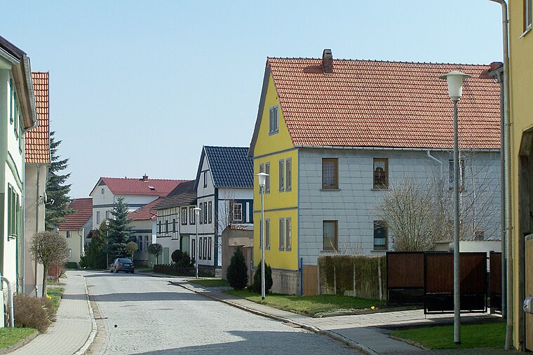
Eisenach-Kindel Airport
Aerodrome

Photo: Carsten Steger, CC BY-SA 4.0.
Eisenach-Kindel Airport is an aerodrome.
St. Laurentius (Wolfsbehringen)
Church

Photo: Metilsteiner, CC BY-SA 3.0.
St. Laurentius (Wolfsbehringen) is a church, which is situated 1½ km north of Fahrsicherheitstraining-Gelände.
St. Johannes (Haina)
Church

Photo: CTHOE, CC BY-SA 3.0.
St. Johannes (Haina) is a church, which is situated 2 km east of Fahrsicherheitstraining-Gelände.
Places in the Area
Nearby places include Wolfsbehringen and Haina.
Haina
Village
 Haina is a village and Ortschaft of the municipality Nessetal in the district of Gotha, in Thuringia, Germany. Before 1 January 2019, when it was merged into the new municipality Nessetal, it was an independent municipality.
Ettenhausen an der Nesse
Village

Photo: HeizDampf, CC BY-SA 3.0.
Ettenhausen an der Nesse is a village.
Fahrsicherheitstraining-Gelände
- Type: Commerce
- Location: Nessetal, Gotha, Thuringia, Germany, Central Europe, Europe
- View on OpenStreetMap
Latitude
50.99274° or 50° 59′ 34″ northLongitude
10.48754° or 10° 29′ 15″ eastOpen location code
9F2GXFVQ+32OpenStreetMap ID
way 813945293OpenStreetMap feature
amenity=driver_trainingOpenStreetMap feature
landuse=commercial
This page is based on OpenStreetMap, Wikidata, and Wikimedia Commons.
We’d love your help improving our open data sources. Thank you for contributing.
Satellite Map
Discover Fahrsicherheitstraining-Gelände from above in high-definition satellite imagery.
Notable Places Nearby
Highlights include Fallschirmsport Dädalus and Schlösschen.
Nearby Places
Explore places such as Thüringer Fahrsicherheitszentrum and Nessetal-Radweg.
Curious Places to Discover
Uncover intriguing places from every corner of the globe.
About Mapcarta. Data © OpenStreetMap contributors and available under the Open Database License". Text is available under the CC BY-SA 4.0 license, except for photos, directions, and the map. Photo: Taxiarchos228, FAL.