ehemalige Wassermühle (Ruine)
ehemalige Wassermühle (Ruine) is a watermill in Bad Oeynhausen, Minden-Lübbecke, North Rhine-Westphalia. ehemalige Wassermühle (Ruine) is situated nearby to the pitch Reitplatz, as well as near the sports venue Reitanlage Lohoff.| Tap on a place to explore it |
Places of Interest Nearby
Highlights include Dorfkirche Volmerdingsen and Stolperstein dedicated to Heinz Grünenklee.
Dorfkirche Volmerdingsen
Church

Photo: Ingo2802, CC BY-SA 3.0.
Dorfkirche Volmerdingsen is a church, which is situated 1½ km northeast of ehemalige Wassermühle (Ruine).
Stolperstein dedicated to Heinz Grünenklee
Memorial

Photo: GeorgDerReisende, CC BY-SA 4.0.
Stolperstein dedicated to Heinz Grünenklee is a memorial, which is situated 1¼ km northeast of ehemalige Wassermühle (Ruine).
Stolperstein dedicated to Hermann Grünenklee
Memorial

Photo: GeorgDerReisende, CC BY-SA 4.0.
Stolperstein dedicated to Hermann Grünenklee is a memorial, which is situated 1¼ km northeast of ehemalige Wassermühle (Ruine).
Places in the Area
Nearby places include Wallücke and Werste.
Wallücke
Hamlet

Photo: Aeggy, CC BY-SA 3.0.
Wallücke is a hamlet, which is situated 3½ km north of ehemalige Wassermühle (Ruine).
Werste
Suburb
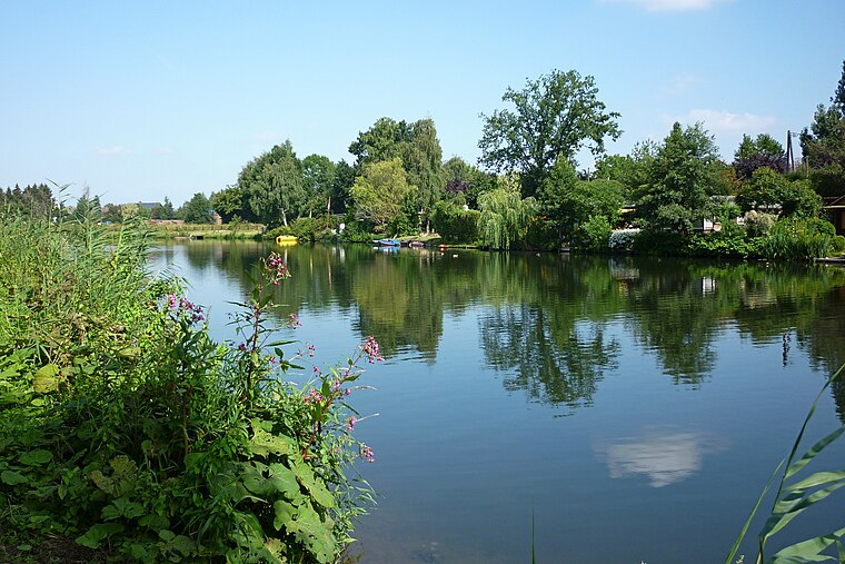
Photo: Ub12vow, CC BY-SA 3.0.
Werste is a suburb, which is situated 3½ km south of ehemalige Wassermühle (Ruine).
Tengern
Village

Photo: Schnathorster, CC BY 3.0.
Tengern is a village, which is situated 4½ km west of ehemalige Wassermühle (Ruine).
ehemalige Wassermühle (Ruine)
- Type: Watermill
- Categories: building and industry
- Location: Bad Oeynhausen, Minden-Lübbecke, Detmold, North Rhine-Westphalia, Germany, Central Europe, Europe
- View on OpenStreetMap
Latitude
52.24508° or 52° 14′ 42″ northLongitude
8.76563° or 8° 45′ 56″ eastOpen location code
9F4C6QW8+27OpenStreetMap ID
way 82128311OpenStreetMap feature
building=yesOpenStreetMap feature
man_made=watermill
This page is based on OpenStreetMap, Wikidata, and Wikimedia Commons.
We’d love your help improving our open data sources. Thank you for contributing.
Satellite Map
Discover ehemalige Wassermühle (Ruine) from above in high-definition satellite imagery.
Notable Places Nearby
Highlights include Reitplatz and Reitanlage Lohoff.
Nearby Places
Explore places such as Landschafts-Erlebnisweg Volmerdingsen and Siekeschutzgebiet.
North Rhine-Westphalia: Must-Visit Destinations
Delve into Cologne, Düsseldorf, Bonn, and Dortmund.
Curious Watermills to Discover
Uncover intriguing watermills from every corner of the globe.
About Mapcarta. Data © OpenStreetMap contributors and available under the Open Database License". Text is available under the CC BY-SA 4.0 license, except for photos, directions, and the map. Photo: Daniel Schwen, CC BY-SA 2.5.